What is recorded here
In rough hill grazing, on bog, on a S-facing slope and within a network of relict field boundaries (CO057-008001-). The remains of a D-shaped hut site (4.5m N-S) defined by a curving stone wall (T 0.5m; H 0.3m) with a straight N side (L 4m). The stone wall protrudes intermittently above the surface of the bog. The interior is raised (H 0.2m) at the S to compensate for the hillslope. The linear wall at the N is incorporated into an E-W field wall.
The above description is derived from 'The Archaeological Inventory of County Cork. Volume 5' (Dublin: Stationery Office, 2009).
Date of upload: 22 December 2009
The monument record does not grant public access. Check the route and ask the landowner before entering private land.
- What survives
- Recorded monument
Places near here
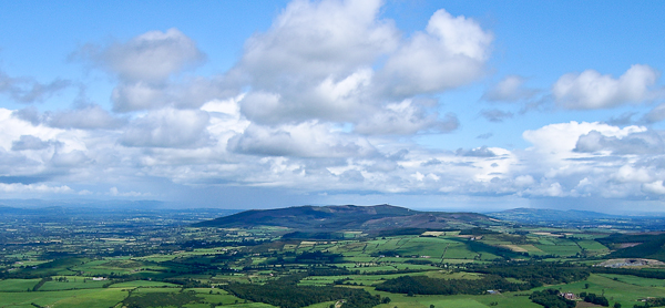 Enclosure in An Inse Mhór (tc Sliabh Riabhach)Enclosure · 28 yd
 Hut site in An Inse Mhór (tc Sliabh Riabhach)Hut site · 97 yd
 KilnKiln, lime · 392 yd
 An Cnoc BuíMountain / peak · 1348 yd
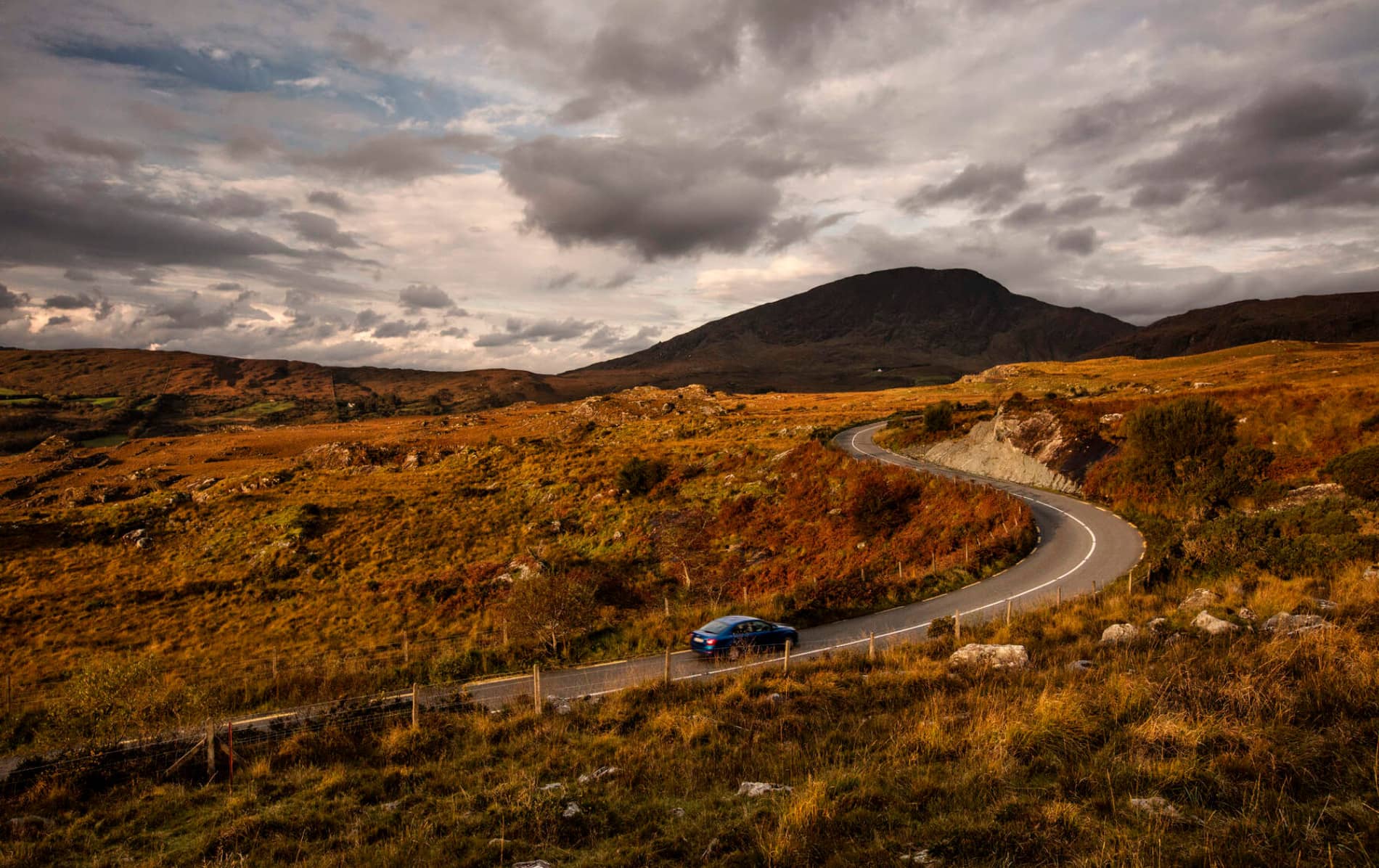 RoadRoad, road/trackway · 1.4 mi
 CoomagearlahyMountain / peak · 1.8 mi
 Sli Gaeltacht MuscraiWalking route · 3.5 mi
 Cascade WoodWood · 4.5 mi
 Castle (Site of)Castle, unclassified · 4.7 mi
 CastleCastle, unclassified · 4.7 mi
 European long distance path E8 - part IrelandWalking route · 5.1 mi
 Hidden Valley Pet FarmHeritage attraction · 6.9 mi