
What is recorded here
Map note: The recorded spot for Hunters Hill is near Thornton, Angus, Scotland; it is a mountain or peak. The name does the climbing; the map shows where to look.
From OpenStreetMap (© OpenStreetMap contributors) n4173564429
Places near here
Photo credits
- Maker not stated on source page, en.wikipedia.org
- Maker not stated on source page, www.pinterest.com
- Maker not stated on source page, ru.pinterest.com
- Douglas Nelson, Wikimedia Commons · CC BY-SA 2.0
- Richard Webb, Wikimedia Commons · CC BY-SA 2.0
- Maker not stated on source page, www.undiscoveredscotland.co.uk
- Christopher Gillan, Wikimedia Commons · CC BY-SA 2.0
- Maker not stated on source page, www.alamy.com
- Maigheach-gheal, Wikimedia Commons · CC BY-SA 2.0
- Scott Cormie, Wikimedia Commons · CC BY-SA 2.0
 Arniefoul BridgeRoad Bridge · 521 yd
 Hunters Hill, Thornton Standing StoneCross Slab (pictish), Pictish Symbol Stone (pictish) · 693 yd
 Hunter's Hill StoneArchaeological place · 696 yd
 ThorntonCastle (medieval) (possible) · 778 yd
 GlamisMilepost (19th Century) · 924 yd
 Glamis, St. Fergus's ChurchCross Slab (pictish) · 1272 yd
 CharlestonVillage · 1277 yd
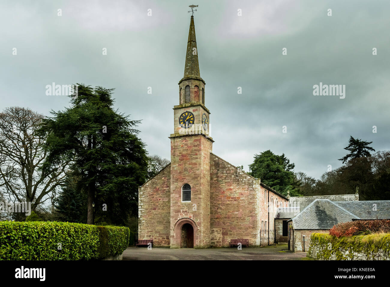 Glamis, St. Fergus's Church, War MemorialWar Memorial(s) (20th Century) · 1280 ydGlamis, Kirkwynd, St Fergus's Church, Burial-groundBurial Ground (medieval) · 1287 yd
 Glamis Manse StoneHeritage attraction · 1330 yd
 St. Fergus WellHeritage attraction · 1371 yd
 Glamis War MemorialMemorial · 1476 yd
More mountains and hills in Angus · All of Angus

What do you know about this place?Tap to add a comment or ask a question