
What is recorded here
Map note: Near Thornton, Angus, Scotland, the map records Hunter's Hill Stone as an ancient site. The past can keep its secrets; the map gives you a starting point.
From OpenStreetMap (© OpenStreetMap contributors) n5324074479
Places near here
Photo credits
- Maker not stated on source page, www.pinterest.com
- Douglas Nelson, Wikimedia Commons · CC BY-SA 2.0
- Richard Webb, Wikimedia Commons · CC BY-SA 2.0
- Maker not stated on source page, www.alamy.com
- Maker not stated on source page, www.undiscoveredscotland.co.uk
- Maigheach-gheal, Wikimedia Commons · CC BY-SA 2.0
- Maker not stated on source page, www.youtube.com
- Scott Cormie, Wikimedia Commons · CC BY-SA 2.0
 Hunters Hill, Thornton Standing StoneCross Slab (pictish), Pictish Symbol Stone (pictish) · 5 yd
 ThorntonCastle (medieval) (possible) · 320 yd
 GlamisMilepost (19th Century) · 337 yd
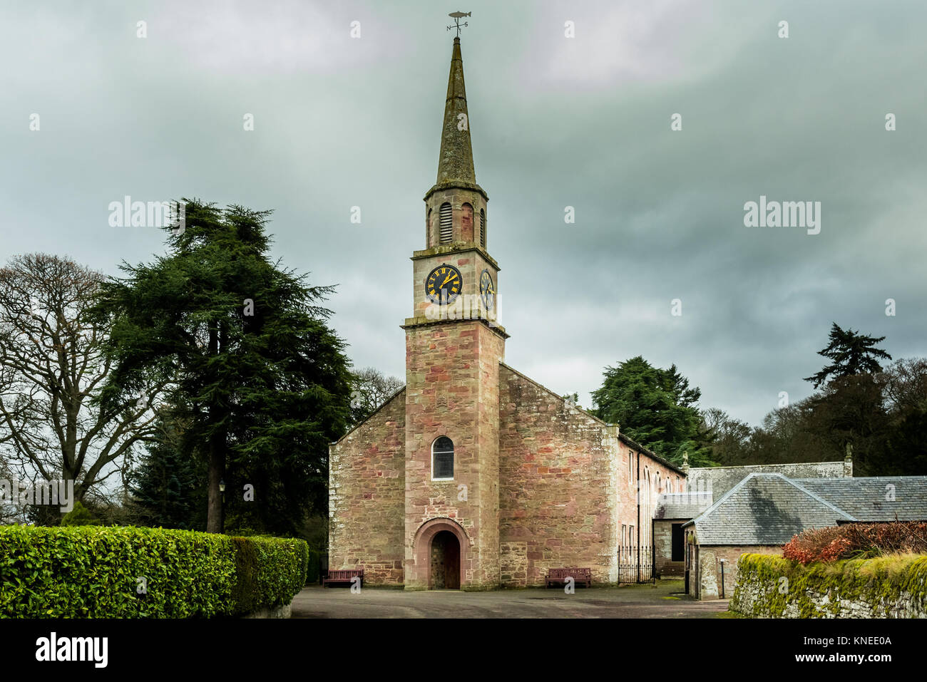 Glamis, St. Fergus's Church, War MemorialWar Memorial(s) (20th Century) · 853 ydGlamis, Kirkwynd, St Fergus's Church, Strathmore AisleBurial Aisle (15th Century) · 864 yd
 Glamis, Kirkwynd, St Fergus's Church, Burial-groundBurial Ground (medieval) · 870 ydGlamis, Kirkwynd, St Fergus's ChurchChurch (medieval), Cross Slab (pictish), Cross Slab(s) (pictish), Pictish Symbol Stone (pictish), Well (medieval) · 884 ydGlamis, St. Fergus's ChurchCross Slab (pictish) · 888 yd
 St. Fergus WellHeritage attraction · 903 yd
 Glamis Castle, Kirk GateGate(s), Gate Pier(s) (17th Century) · 916 yd
 Glamis Manse StoneHeritage attraction · 923 yd
 Glamis War MemorialMemorial · 1279 yd
More archaeology and monuments in Angus · All of Angus

What do you know about this place?Tap to add a comment or ask a question