
What is recorded here
Detached four-bay two-storey house, c.1870, possibly originally three-bay two-storey retaining most original fenestration. Part refenestrated, c.1970. Pitched slate roof with clay ridge tiles, rendered chimney stack, rendered coping, and cast-iron rainwater goods. Unpainted lime rendered walls. Square-headed window openings with stone sills. 1/1 timber sash windows having margins with one replacement timber casement window, c.1970. Square-headed door opening with replacement timber panelled door, c.1970, and overlight. Set back from road in own grounds with gravel forecourt.(ii) Detached six-bay single-storey mono-pitched rubble stone outbuilding, c.1870, to west. Reroofed, c.1945. Mono-pitched roof with replacement corrugated-iron, c.1945, rendered ridge, and rendered coping. Painted random rubble stone walls. Square-headed window openings with no sills. 6/6 timber sash windows with some fixed-pane timber windows having diamond-lattice glazing. Square-headed door openings with timber boarded doors, and some now boarded over with corrugated-iron.
An attractive house of modest, informal appearance that retains its original form and character, together with original salient features and materials. The house is of importance for the survival of its historic and rural quality, the surrounding area having undergone redevelopment with high density housing in the late twentieth century.
This does not grant access. Most recorded buildings are privately owned; view them only from public ground unless the owner allows entry.
Places near here
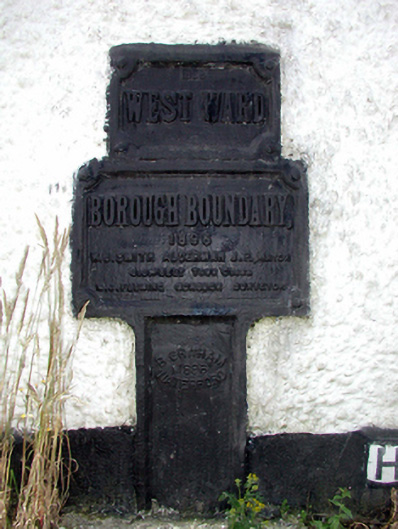 ward boundary markerward boundary marker · 352 yd
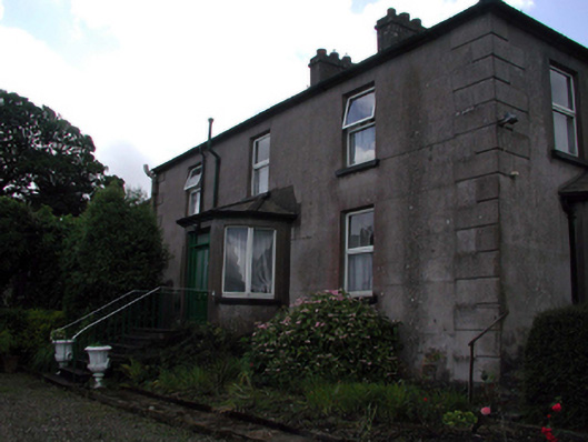 Rocklandshouse · 755 yd
 Structure in Gracedieu WestStructure · 1666 yd
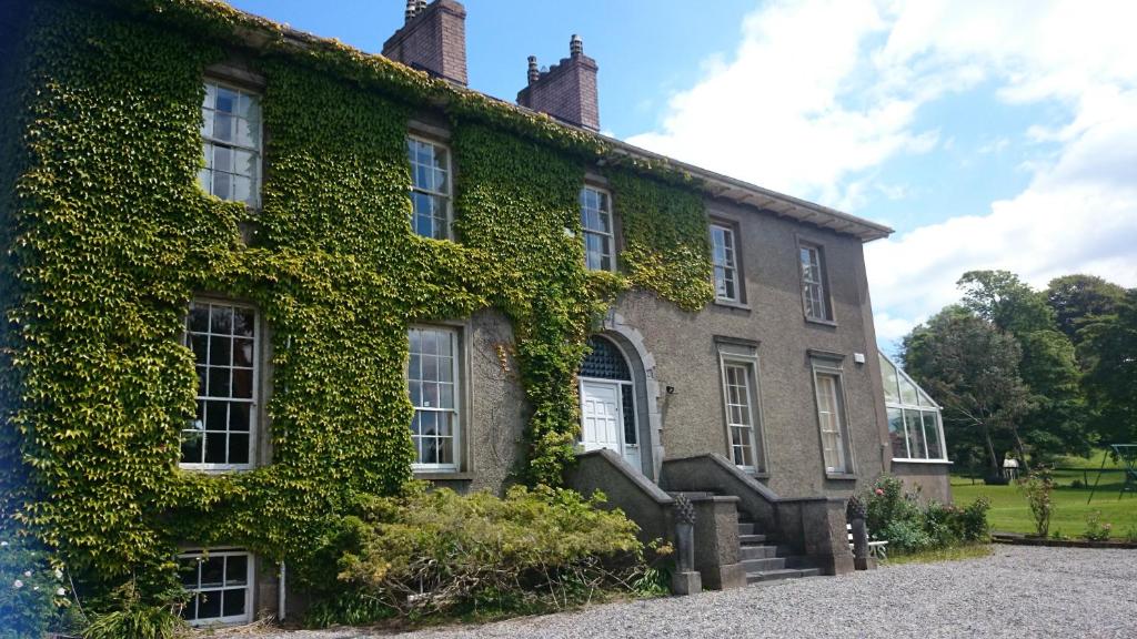 Enclosure in NewrathEnclosure · 1705 yd
 Native Woodland Trust:Grace Dieu ReserveWood · 1.3 mi
 Granny CastleCastle, tower house · 1.3 mi
 Native Irish Tree TrailWood · 1.8 mi
 Corluddy Castle (in Ruins)Castle, tower house · 2.7 mi
 Mount Congreve GardensHeritage attraction · 3.4 mi
 Sugar Loaf RockMountain / peak · 3.9 mi
 Waterford & Suir Valley RailwayHeritage attraction · 4.6 mi
 Ballyscanlon HillMountain / peak · 7.5 mi
Other information
Photo: National Inventory of Architectural Heritage · Website use allowed for educational or private purposes with source credit