What is recorded here
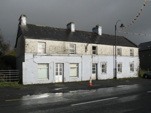
Detached five-bay two-storey house, extant 1895, originally attached with shopfront to left ground floor. Now disused. Pitched slate roof with clay ridge tiles, paired rendered central chimney stacks having stringcourses below capping supporting terracotta pots, "timber frame"-detailed timber bargeboards to gables on timber purlins, and cast-iron rainwater goods on timber eaves boards retaining abbreviated cast-iron downpipes. Rendered wall (ground floor) on rendered chamfered plinth with rendered stringcourse; fine roughcast surface finish (first floor). Square-headed central door opening with rendered "lugged" surround framing replacement glazed aluminium panelled door. Square-headed window openings with sills, and concealed dressings with hood mouldings over (ground floor) framing one-over-one timber sash windows having part exposed sash boxes. Rendered shopfront to left ground floor on a symmetrical plan. Street fronted with tarmacadam verge to front.
A dilapidated house representing an integral component of the nineteenth-century domestic built heritage of Turlough with the architectural value of the composition, one most likely retaining the basis of an existing house (extant 1838) displaying a comparable footprint on the first edition of the Ordnance Survey (published 1839), suggested by such traits as the rectilinear plan form centred on a restrained doorcase; and the uniform or near-uniform proportions of the openings on each floor. A prolonged period of neglect notwithstanding, the elementary form and massing survive intact together with substantial quantities of the historic or original fabric including a streamlined shopfront making a pleasing visual statement in a rural village street scene.
This does not grant access. Most recorded buildings are privately owned; view them only from public ground unless the owner allows entry.
Places near here
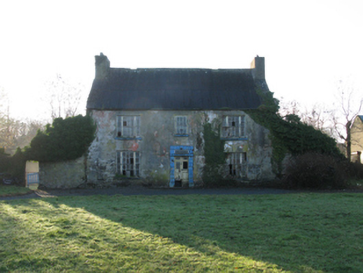 Turlough Lodgefarm house · 159 yd
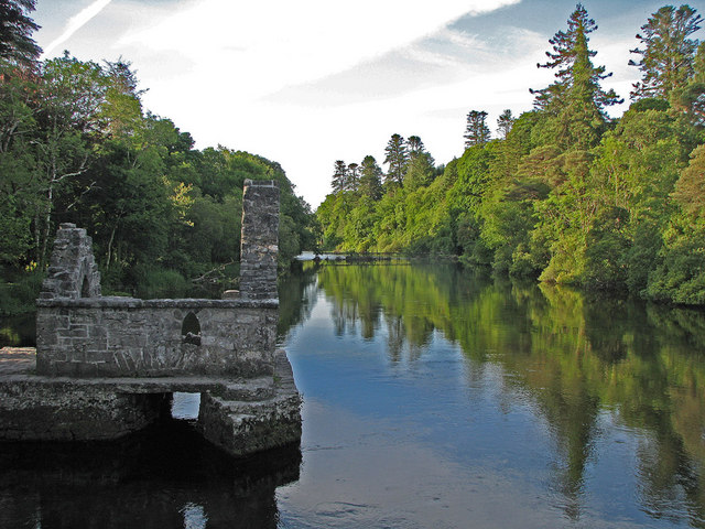 River WoodWood · 212 yd
 Turlough Parkgates/railings/walls · 277 yd
 IndicatedFairy fort / earthen ringfort · 359 yd
 Sunken GardenWood · 508 yd
 CastleCastle, unclassified · 547 yd
 National Museum of Ireland, Country LifeMuseum · 626 yd
 TowerRound tower · 853 yd
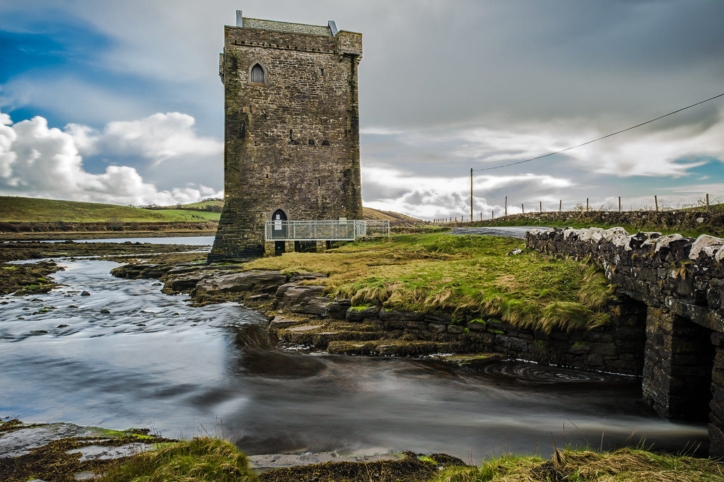 Moyhenna Castle in ruinsCastle, unclassified · 1.5 mi
 Battle of CastlebarMajor battlefield · 3.7 mi
 Saint John Baptist de La SalleMemorial · 3.8 mi
 1798 MemorialMemorial · 3.9 mi
Other information
Photo: National Inventory of Architectural Heritage · Website use allowed for educational or private purposes with source credit