What is recorded here
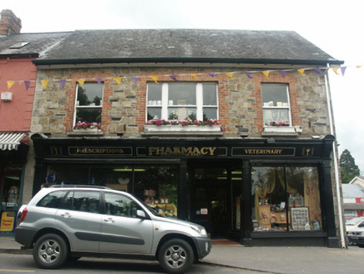
Attached three-bay two-storey house with dormer attic, dated 1910; occupied 1911, on a rectangular plan with shopfront to ground floor; two-bay two-storey side (east) elevation. Reroofed, ----. Replacement pitched slate roof with clay ridge tiles, and uPVC rainwater goods on timber boarded box eaves. Tuck pointed coursed rubble stone walls with cut- or hammered granite flush quoins to corners. Timber shopfront to ground floor. Square-headed window openings (first floor) centred on square-headed window opening in tripartite arrangement with cut-limestone sills, and red brick block-and-start surrounds framing one-over-one timber sash windows centred on one-over-one timber sash window having one-over-one sidelights. Street fronted with concrete brick cobbled footpath to front.
A house erected by Nathaniel Tackaberry (1868-1951), 'Shopkeeper' (NA 1911), representing an important component of the early twentieth-century built heritage of Bunclody with the architectural value of the composition confirmed by such attributes as the compact rectilinear plan form; the construction in an unrefined local fieldstone offset by red brick or silver-grey granite dressings producing a mild polychromatic palette; and the high pitched roofline. Having been well maintained, the elementary form and massing survive intact together with substantial quantities of the original fabric, both to the exterior and to the interior, including a shopfront of artistic interest making a pleasing visual statement in The Mall or Main Street at street level.
This does not grant access. Most recorded buildings are privately owned; view them only from public ground unless the owner allows entry.
Places near here
 Common LimeCommon Lime · 21 yd
 Bunclody 1798 Bicentenary MemorialMemorial · 38 yd
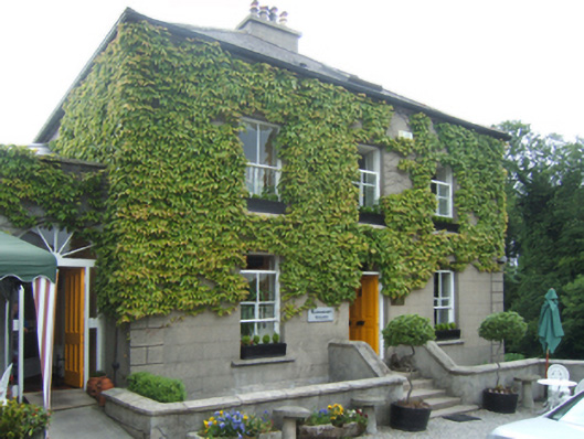 mansemanse · 45 yd
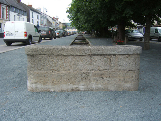 unknownunknown · 56 yd
 1798 rebellion Battle of Newtownbarry (AKA Bunclody) commemorative plaqueMemorial · 146 yd
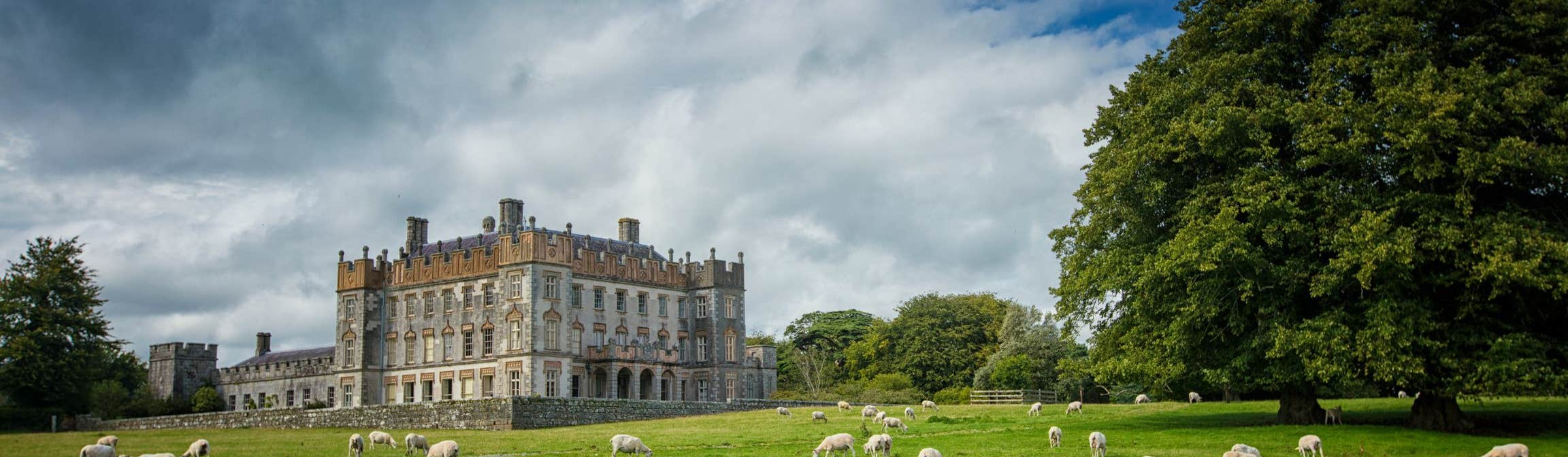 Round O RathEnclosure · 866 yd
 Enclosure in CarrickduffEnclosure · 1670 yd
 Carrickduff WoodWood · 1672 yd
 Site of Clonmullen CastleCastle, unclassified · 1.3 mi
 Ryland Castle (in ruins)Castle, unclassified · 1.7 mi
 Barragh Church (in ruins), GraveyardChurch · 1.8 mi
 John's HillMountain / peak · 2.2 mi
Other information
Photo: National Inventory of Architectural Heritage · Website use allowed for educational or private purposes with source credit