What is recorded here
A large house is marked on the Down Survey (1655-6) barony map in the vicinity of the border between these two townlands. The house is early 17th-century in appearance with a square block at each angle. Local inquiries failed to reveal any information on the location or nature of this house.
The above description is derived from 'The Archaeological Inventory of County Cork. Volume 5' (Dublin: Stationery Office, 2009).
Date of upload: 22 December 2009
The monument record does not grant public access. Check the route and ask the landowner before entering private land.
- What survives
- Recorded monument
Places near here
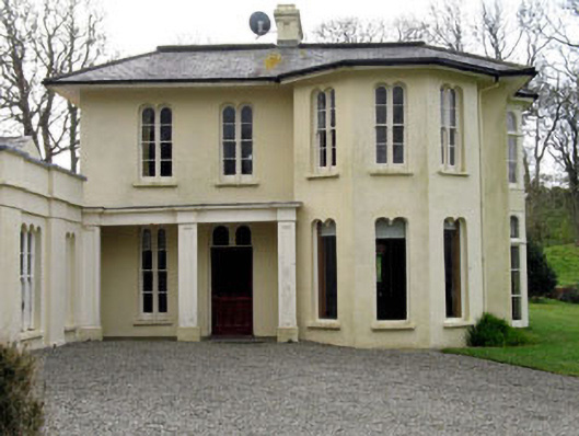 Lough Ine Househunting/fishing lodge · 726 yd
 Trá na BóBeach / strand · 831 yd
 ClochánCastle · 885 yd
 Kill Burial Gd (Childrens)Burial ground · 974 yd
 Templebreedy (in Ruins)Church · 1036 yd
 TralispeanBeach / strand · 1110 yd
 Wild Atlantic Way:Lough HyneVisitor information · 1148 yd
 Burial ground in Drishane More (carbery West (e.d.) By.)Burial ground · 1158 yd
 Bullock IslandIslet · 1370 yd
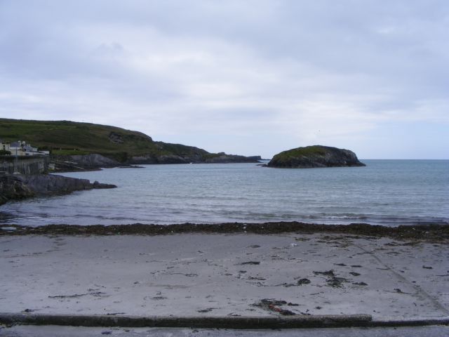 Drishane IslandIslet · 1734 yd
 Walk 5 - Lough Hyne (7km)Walking route · 1743 yd
 KnockomaghMountain / peak · 1.1 mi