
What is recorded here
In rough pasture, between two ridges of outcropping rock. A small subtriangular field containing numerous grave markers, known locally as "kill burial ground" for children (pers. comm. Mr. Paul Walsh). Radial stone enclosure (CO150-016----), 250m to N is named 'Kill Burial Gd.' on OS 6-inch maps (1842; 1902).
The above description is derived from the published 'Archaeological Inventory of County Cork. Volume 1: West Cork' (Dublin: Stationery Office, 1992). In certain instances the entries have been revised and updated in the light of recent research.
Date of upload/revision: 14 January 2009
A possible prehistoric burial ground, potentially dating to the Neolithic or Bronze Age, indicated by the presence of grave markers and radial stone enclosure features. Its local association with child burials adds cultural significance, though its exact type and period remain undetermined.
The monument record does not grant public access. Check the route and ask the landowner before entering private land.
- What survives
- Recorded monument
Places near here
 Kill Burial Gd (Children) (Disused)Radial-stone enclosure · 253 yd
 Megalithic tomb in ArdagillaMegalithic tomb · 525 yd
 Tráigh na MonaBeach / strand · 991 yd
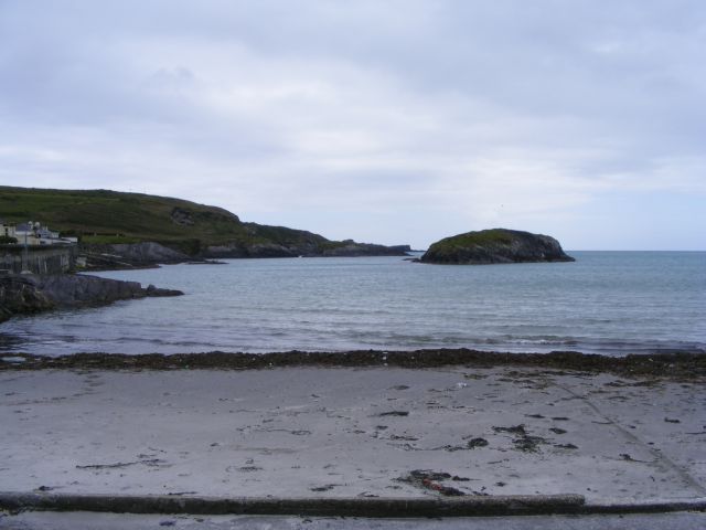 Drishane IslandIslet · 1129 yd
 Stony BeachBeach / strand · 1170 yd
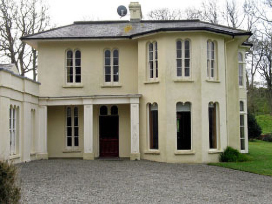 Lough Ine Househunting/fishing lodge · 1.0 mi
 ClochánCastle · 1.2 mi
 Templebreedy (in Ruins)Church · 1.2 mi
 Bullock IslandIslet · 1.2 mi
 Wild Atlantic Way:Lough HyneVisitor information · 1.3 mi
 Giant's GraveArchaeological place · 1.4 mi
 Wild Atlantic Way:Toe HeadVisitor information · 1.5 mi
Other information
Photo: Credit not shown in the picture search · Rights wording not checked; contact us if this picture should be removed