What is recorded here
There was a stone house at Tombrick, the property of Hugh Breine, an Irish Papist, in 1641, according to the Civil Survey (1654-56) (Simington 1953, 278). Hugh also owned 200 acres of wood and 200 acres of arable at the same location. The precise location of the house is not known.
See the attached section from the Down Survey (1656-8) barony map (N at top) reproduced courtesy of the National Library of Ireland (Ms 725)
Compiled by: Michael Moore
Date of upload; 5 April, 2012
Amended: 9 May, 2014
The monument record does not grant public access. Check the route and ask the landowner before entering private land.
- What survives
- Recorded monument
Places near here
 Tombrick WoodForest · 677 yd
 RoadRoad, road/trackway · 1391 yd
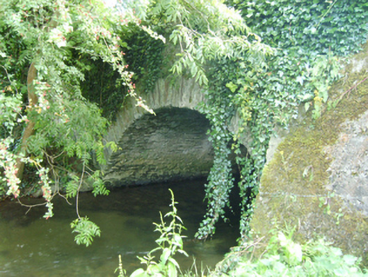 Coolattin Bridgebridge · 1448 yd
 European LarchEuropean Larch · 1580 yd
 IndicatedFairy fort / earthen ringfort · 1.9 mi
 Clohamon Castle (in ruins)Castle, unclassified · 2.1 mi
 Embanked enclosureFairy fort / earthen ringfort · 2.2 mi
 Ryland Castle (in ruins)Castle, unclassified · 2.3 mi
 Bunclody 1798 Bicentenary MemorialMemorial · 4.0 mi
 1798 rebellion Battle of Newtownbarry (AKA Bunclody) commemorative plaqueMemorial · 4.0 mi
 Gibbet HillMountain / peak · 4.8 mi
 John's HillMountain / peak · 5.3 mi