What is recorded here
A house is marked on the Down Survey map (1655-58) in NLI (ms 725, microfilm P 7384, N 6380) of Drinagh parish at Rowestown where Nicholas Rochford owned 62 acres in 1640 according to the terrier, or commentary. The precise location of this house cannot be identified.
See the attached section of the Down Survey (1656-8) parish map (N at right) reproduced courtesy of the National Library of Ireland (Ms 725)
Compiled by: Michael Moore
Date of upload: 28 May, 2013
The monument record does not grant public access. Check the route and ask the landowner before entering private land.
- What survives
- Recorded monument
Places near here
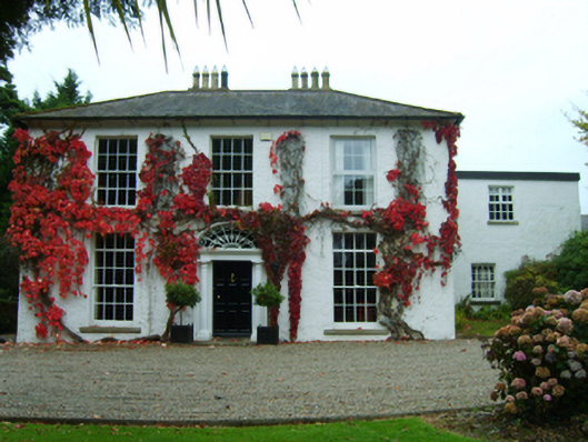 Landscape Housefarm house · 685 yd
 Drinagh Lodgefarm house · 751 yd
 Windmill in Ballykilliane,sheepwalkWindmill · 1004 yd
 St. Helens WellHoly well · 1309 yd
 Site of CastleCastle, unclassified · 1.1 mi
 Johnstown Castle Visitor CentreHeritage attraction · 1.7 mi
 Irish Agricultural MuseumMuseum · 1.7 mi
 American SweetgumAmerican Sweetgum · 1.7 mi
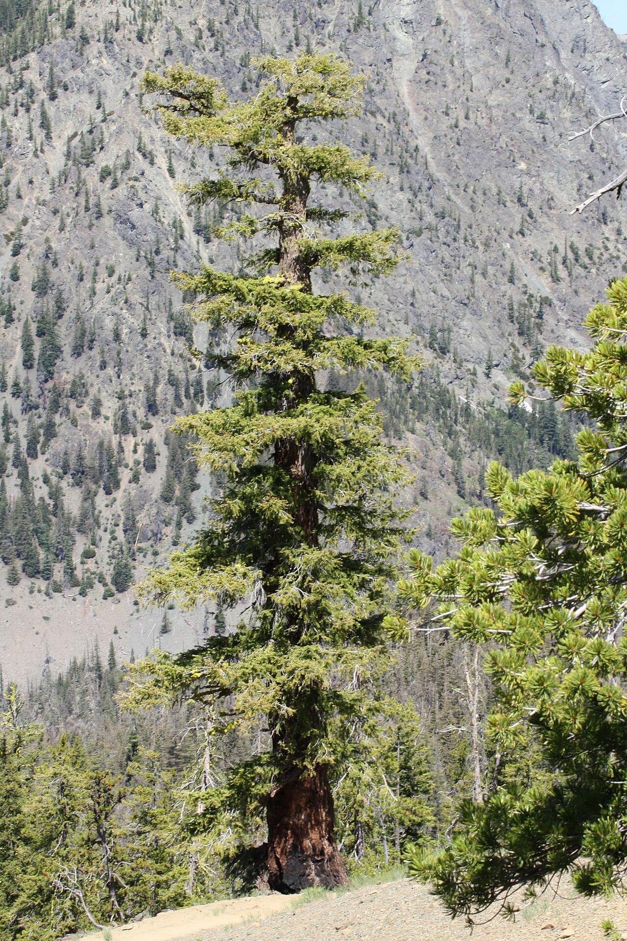 Douglas-firDouglas-fir · 1.8 mi
 16th Irish DivisionMemorial · 2.1 mi
 CastleCastle, tower house · 2.2 mi
 Halla KennyMemorial · 2.9 mi