What is recorded here
A fine thatched house is recorded on the terrier of the Down Survey map of Lisnakill parish (1655-6) at Pembrokestown, also known as Ballinumeragh. The house is depicted with three chimneys on the Down Survey map, but it remains unlocated.
Compiled by: Michael Moore
Date of upload: 07 January 2011
The monument record does not grant public access. Check the route and ask the landowner before entering private land.
- What survives
- Recorded monument
Places near here
 Mote or TumulusCastle, motte · 503 yd
 DolmenPortal tomb · 533 yd
 Gaulstown Portal TombArchaeological place · 558 yd
 Chruch (in ruins)Church · 682 yd
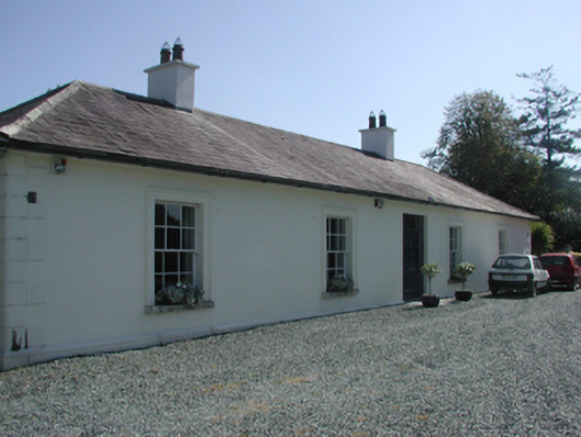 Pembrokestown Housecountry house · 948 yd
 IndicatedBawn · 996 yd
 Sugar Loaf RockMountain / peak · 1.8 mi
 Mount Congreve GardensHeritage attraction · 2.2 mi
 Monterey CypressMonterey Cypress · 2.2 mi
 Sweet micheliaSweet michelia · 2.2 mi
 Waterford & Suir Valley RailwayHeritage attraction · 2.9 mi
 Ballyscanlon HillMountain / peak · 2.9 mi