What is recorded here
Three houses and a house within a square representing the castle (LE027-026----) are marked in Leitrim village on the Downe Survey (1656-8) parish map of Kiltoghert, for which see this web-page accessed on 24/03/2017: http://downsurvey.tcd.ie/down-survey-maps.php#bm=Leitrim&c=Leitrim&p=Kiltahorke The houses have not been located.
Compiled by: Michael Moore
Date of upload: 24 March, 2017
The monument record does not grant public access. Check the route and ask the landowner before entering private land.
- What survives
- Recorded monument
Places near here
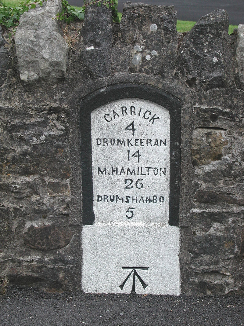 milestone/milepostmilestone/milepost · 83 yd
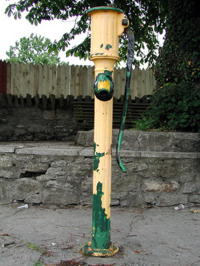 water pumpwater pump · 264 yd
 Shannon-Erne WaterwayVisitor information · 293 yd
 Sit of Breifny CastleCastle, tower house · 314 yd
 IndicatedEnclosure · 570 yd
 Grays FortFairy fort / ringfort · 671 yd
 Battle of Áth an Chipbattle · 1040 yd
 PortCastle, unclassified · 1.0 mi
 InishnagonIsland · 1.4 mi
 Leabaidh DermotCave · 1.9 mi
 Sheemore Ambush MemorialMonument · 2.2 mi
 Derreenargan WoodWood · 3.4 mi