What is recorded here
Two houses are marked at Killerna (Killarney) on the Strafford map (c. 1636) of Ballintubber barony (Simington 1949, Ballintubber A), and are also marked on the composite Strafford/1837 ed. of the OS 6-inch map in NLI. They were not encountered.
Compiled by: Michael Moore
Date of upload: 24 August 2010
The monument record does not grant public access. Check the route and ask the landowner before entering private land.
- What survives
- Recorded monument
Places near here
 IndicatedFairy fort / earthen ringfort · 1141 yd
 Enclosure in Cartron (coote)Enclosure · 1416 yd
 CastleCastle, unclassified · 1.3 mi
 Derrane AbbeyReligious house, Augustinian, of Arrouaise nuns · 1.4 mi
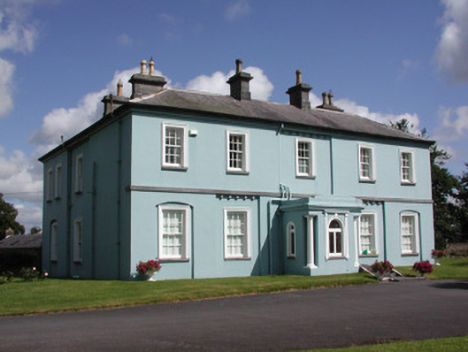 Essex Lawn Househouse · 1.5 mi
 Roscommon CastleCastle · 1.8 mi
 Big IslandForest · 1.9 mi
 Little IslandForest · 2.0 mi
 FerrinchIslet · 4.5 mi
 Hangman's HillMountain / peak · 4.9 mi
 Bushy IslandIslet · 5.1 mi
 Cruit BayBay · 5.2 mi