What is recorded here
The Down Survey (1655-6) barony map of Crannagh depicts two houses in Kilbraghan townland, one larger than the other (Hibernia Regnum, courtesy of Trinity College Dublin). The 17th-century townland of 'Killebregan' consisted of the two modern townlands of Kilbraghan and Pollagh. The houses are located roughly in the vicinity of Kilbraghan village. The houses are not indicated on the Down Survey (1655-6) parish map of Kilmanagh but the accompanying terrier describes, 'some Houses at the two forfeited Townes Lands of Shortaghsgraige and Kilbregan' and lists 'Earle of Ormond Del[inquent]' as the proprietor in 1640. The precise location of the houses within the townland is unknown.
See attached:
KK022-043----_01 extract from Down Survey (1655-6) barony map of Cranagh (Hib. Reg., courtesy of Trinity College Dublin)
Compiled by: Jean Farrelly
Date of upload: 26 May 2021
The monument record does not grant public access. Check the route and ask the landowner before entering private land.
- What survives
- Recorded monument
Places near here
 Common LimeCommon Lime · 341 yd
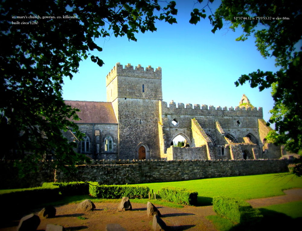 Church in Kilbraghan (crannagh By.)Church · 357 yd
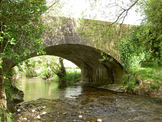 Cappagh Bridgebridge · 783 yd
 The Lower Field Beside the LaneForest · 1745 yd
 Pottlerath RathArchaeological place · 1.5 mi
 Castle (in ruins)Castle, unclassified · 1.9 mi
 Enclosure in Farranrory LowerEnclosure · 1.9 mi
 CastleCastle, unclassified · 2.0 mi
 Ballykeefe AmphitheatreHeritage attraction · 2.9 mi
 Ballykeefe QuarryCliff · 2.9 mi
 Warhouse HillMountain / peak · 3.0 mi
 Ballykeeffe Mass RockNamed rock · 3.5 mi