What is recorded here
A castle (WX042-038----) and three cabins are marked on the Down Survey map (1655-8) in NLI (ms 725, microfilm P 7384, N 6380) of Rathaspick parish at Hayestown Great, while the terrier, or commentary, also mentions a slate house. The precise location of this house is not known.
See the attached view from the Down Survey parish map (N at top) reproduced courtesy of the National Library of Ireland (Ms 725).
Compiled by: Michael Moore
Date of upload: 27 May, 2013
The monument record does not grant public access. Check the route and ask the landowner before entering private land.
- What survives
- Recorded monument
Places near here
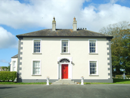 Hayestown Housefarm house · 395 yd
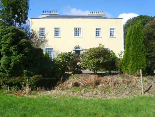 Clonard Housecountry house · 1270 yd
 Castle (in ruinis)Castle, tower house · 1358 yd
 Dawn RedwoodDawn Redwood · 1677 yd
 IndicatedCastle, unclassified · 1713 yd
 Dutchmans WellHoly well · 1.1 mi
 Font in RathaspickFont · 1.1 mi
 16th Irish DivisionMemorial · 1.3 mi
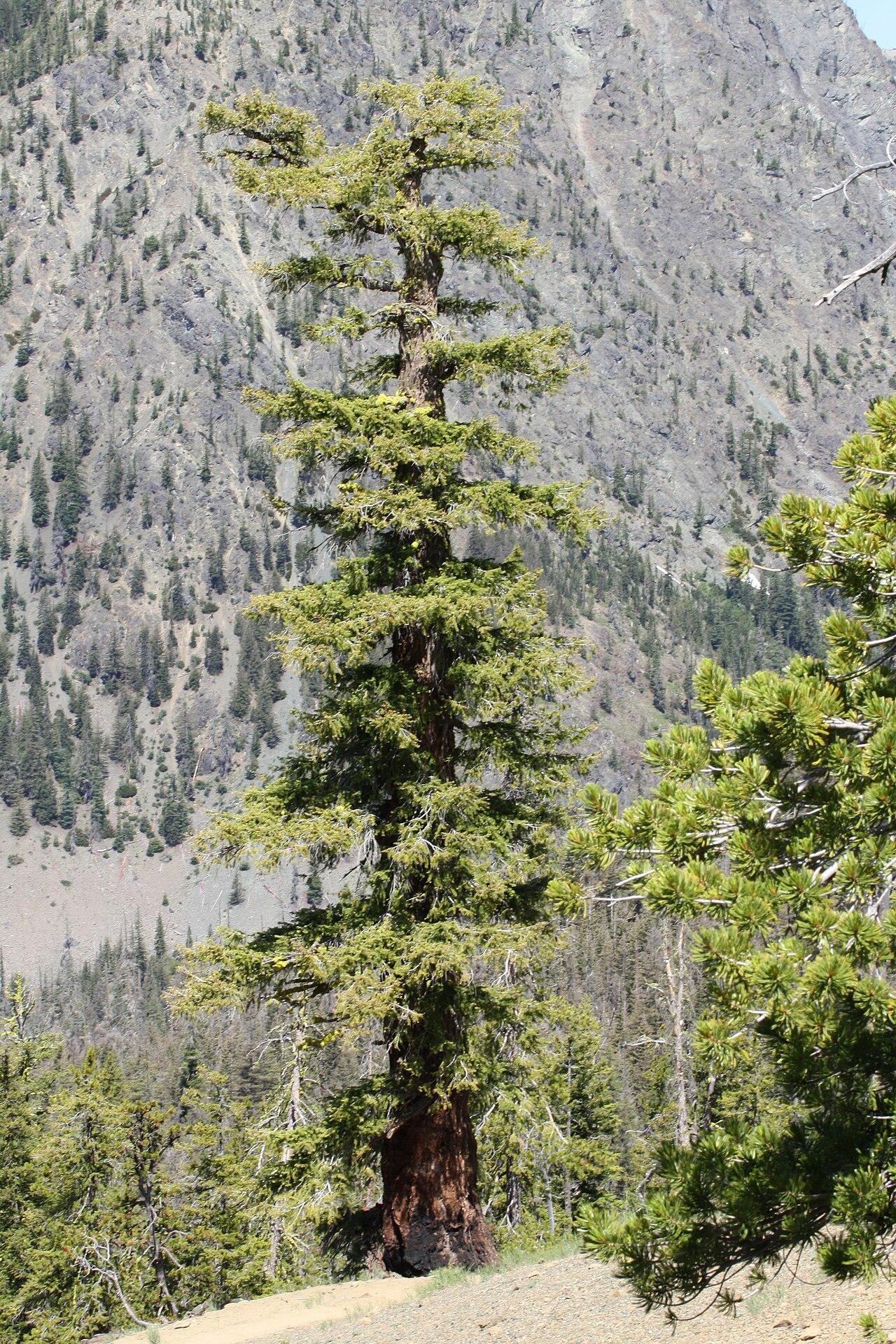 Douglas-firDouglas-fir · 1.3 mi
 Irish Agricultural MuseumMuseum · 1.6 mi
 Johnstown Castle Visitor CentreHeritage attraction · 1.6 mi
 Battle of Three Rocksbattle · 1.7 mi