
What is recorded here
Indicated, Newbay is an unclassified castle in County Wexford, Ireland, first named in 1540 as a castle or fortification held by St Selskar's Priory. By the 1650s John Roche owned 198 acres there, while a surviving wall beside a stable yard still hints at the lost structure. The place resists easy judgement, preserving only a corner of the hand that built it.
References to a castle date from 1540 when a ‘castle or fortilage at Newbaa’ was in the possession of St Selskar's Priory (WX037-032009-) (White 1943, 368). The Down Survey map (1655-6) in the National Library of Ireland (Ms 725, microfilm; P7384, V, 1) shows a large house at Newbay, and according to the Civil Survey (1654-5) 198 acres at Newbay in St. Peter’s parish was owned by John Roche (Simington 1953, 299), but castles are not mentioned in the Civil Survey record of Forth barony. The NW wall (T c. 1.2m) of a building on the SE side of a stable yard has a base batter on the NW side and one corbel on the SE side, which may be part of a castle. It is situated on a low hill, and is at the SW side of a possible moated site (WX037-048001-).
See the attached section from the Down Survey parish map (N at top) reproduced courtesy of the National Library of Ireland (725)
The above description is derived from the published 'Archaeological Inventory of County Wexford' (Dublin: Stationery Office, 1996). In certain instances the entries have been revised and updated in the light of recent research.
Compiled by: Michael Moore
Date of upload/revision: 14 December, 2012
St Selskar's Priory held the castle or fortilice at Newbay from at least 1540. It is remembered as part of the medieval monastic estate holdings in the region, reflecting the priory's influence and land control during the 16th century.
The monument record does not grant public access. Check the route and ask the landowner before entering private land.
- What survives
- Recorded monument
Places near here
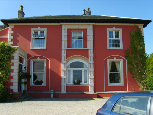 Newbay Housecountry house · 102 yd
 Dawn RedwoodDawn Redwood · 121 yd
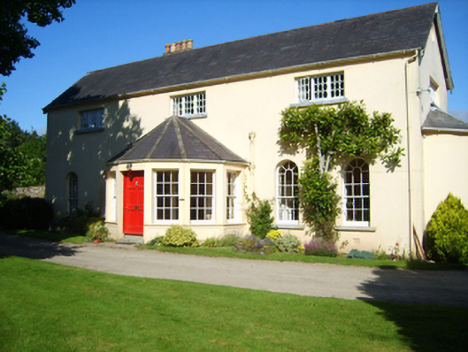 Rosevalehouse · 353 yd
 Castle (in ruinis)Castle, tower house · 1034 yd
 Embanked enclosureFairy fort / earthen ringfort · 1602 yd
 16th Irish DivisionMemorial · 1.0 mi
 St. Nicholas WellHoly well · 1.1 mi
 CastleCastle, tower house · 1.1 mi
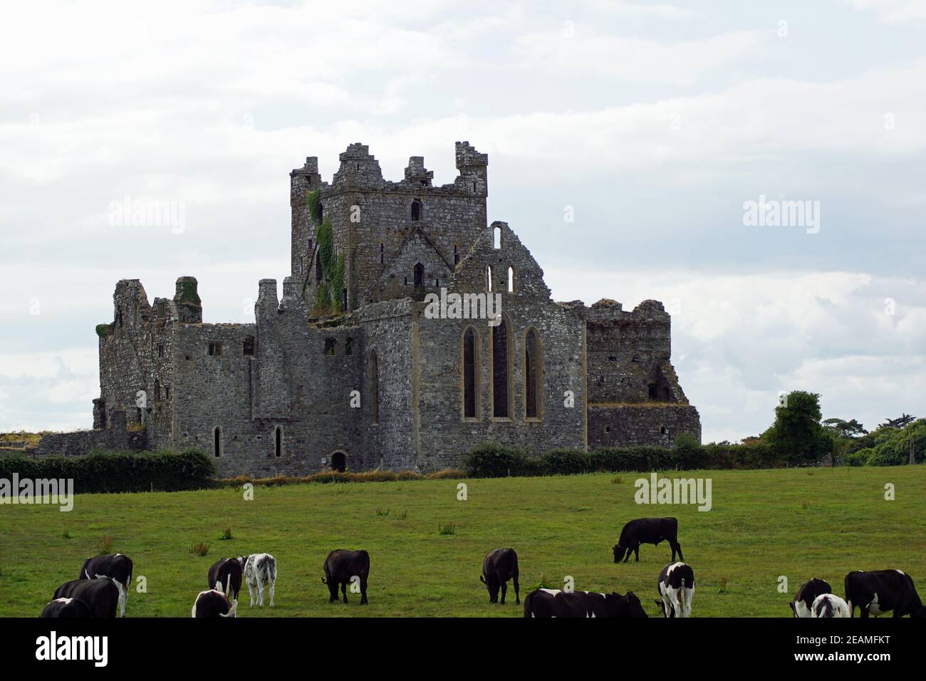 Monastery 10th centuryHeritage attraction · 1.3 mi
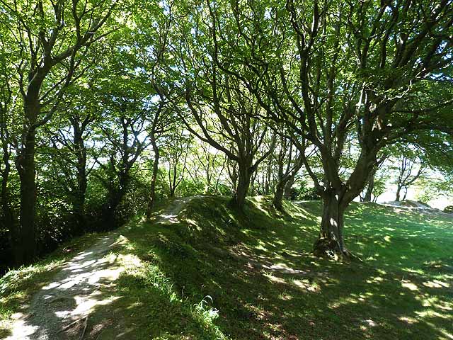 Ring FortHeritage attraction · 1.3 mi
 Battle of Three Rocksbattle · 1.3 mi
 Ferrycarrig AmbushMemorial · 1.5 mi
Other information
Photo: Credit not shown in the picture search · Rights wording not checked; contact us if this picture should be removed