What is recorded here
According to the Civil Survey (1654-6) 'Uppon ye three quarters of Lismchugh stands a demolished castle & the old walls of a house called Grallaghbeg' which in 1640 was in the proprietorship of 'Theobald Butler of Lismchugh Irish papist' (Simington 1934, vol. 2, 18-19). It was speculated that this house might be 'Grallagh Cottage' as depicted on the 1st (1840) ed. OS 6-inch map. However, Grallagh Cottage is no longer visible above ground and the remaining outbuilding appears to be of 19th-century date and does not appear to incorporate any earlier features. The house referred to in the Civil Survey is unlocated within the townland.
Compiled by: Jean Farrelly
Date of upload: 26 August 2011
The monument record does not grant public access. Check the route and ask the landowner before entering private land.
- What survives
- Recorded monument
Places near here
 CastleCastle, unclassified · 1 yd
 Site of ChurchChurch · 98 yd
 Field system in BallyslatteenField system · 687 yd
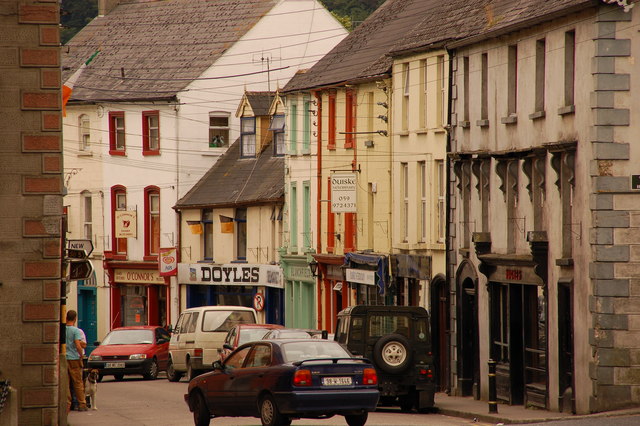 Bawn in Lagganstown UpperBawn · 929 yd
 Suircastle Househouse · 1359 yd
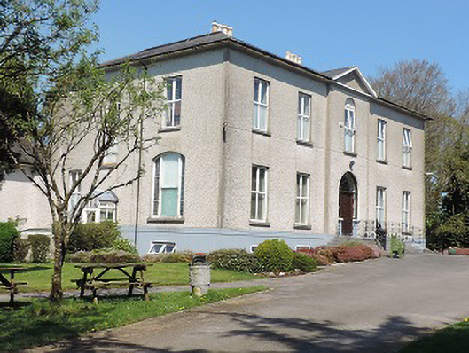 Cuan Mhuirecountry house · 1.1 mi
 Athassel PrioryHeritage attraction · 1.6 mi
 Caucasian zelkovaCaucasian zelkova · 3.4 mi
 Cappa WoodWood · 4.0 mi
 Slieveanard NE TopMountain / peak · 4.8 mi
 SturrakeenMountain / peak · 5.9 mi
 I.R.A. 3rd. Tipperary Brigade MemorialMemorial · 7.5 mi