What is recorded here
On White’s map of 1710/11, on the S side of ‘the Green’ there is a tenement annotated as, ‘House Templers’. Though the map dates to the early 18th century, the house probably dated to the 17th century or earlier. The house was roughly located where there are three semi-detached houses, c. 50m W of the fair green, on the S side of Main Street. The Templar reference probably dates back to when the Knights Templars held the rectory of Gowran, presumably until they were disbanded in 1312 and the rectory passed to the Hospitallers, the Knights of St John of Jerusalam. Early in Edward II’s reign, c. 1307-10, oak trees from the Templars’ woods at Athkilton were given to repair the houses at ‘Ballygawran’ (Gwynn and Hadcock 1988, 329-30). The precise location of the ‘House Templers’ is unknown.
See attached:
KK020-060028-_01 White's 1710/11 map with 'House Templers' highlighted.
Compiled by: Jean Farrelly
Date of upload: 26 March 2021
The monument record does not grant public access. Check the route and ask the landowner before entering private land.
- What survives
- Recorded monument
Places near here
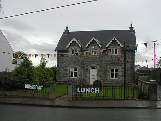 Teach Mhuirepresbytery/parochial/curate's house · 397 yd
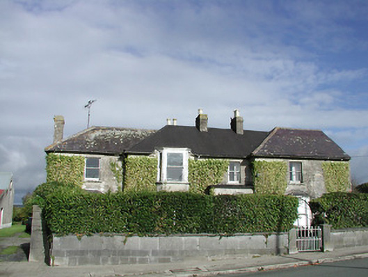 Gowran Househouse · 412 yd
 IndicatedTown defences · 418 yd
 CrossCross, Market cross · 434 yd
 Castle (Site of)Castle, unclassified · 632 yd
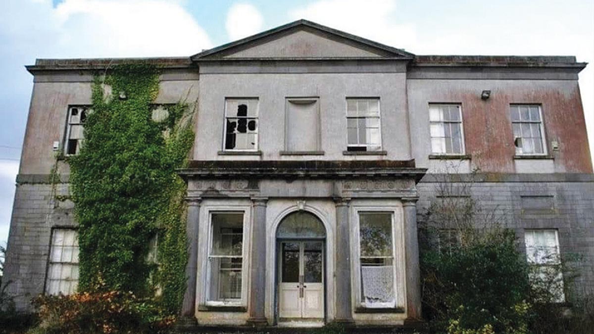 Bawn in Gowran DemesneBawn · 977 yd
 HawthornHawthorn · 3.1 mi
 The Pey FieldForest · 3.4 mi
 St. Mogarra’s WellSpring · 4.4 mi
 Tullaherin Church and Round TowerVisitor information · 4.6 mi
 Kilbline GraveyardArchaeological place · 5.4 mi
 Time CapsuleMemorial · 5.6 mi