
What is recorded here
A 1710/11 map the town showing a cross towards the E end of the main street, suggests that the original market place was located in this area, S of the main street and probably infilled where a 'Malt House' (KK020-060018-) is indicated on the map (White 1710/11). According to Drennan (1965, 58) this area was locally called the 'Bull Ring'. There is a triangular fair green at the W end of the town which Thomas (1992, vol. 2, 115) suggests may have originally been outside the town but which was incorporated as a result of an expansion westward. The cross indicated on the White map was probably the market cross and this appears to have subsequently moved (see KK020-060002-) to the fair green which effectively became the market place. Local tradition relates that, ‘the Cromwellians broke the cross down and that the pieces were scattered on the green’ (Drennan 1965, 58).
See attached:
KK020-060029-_01 White’s 1710/11 map of Gowran with the market cross highlighted.
Compiled by: Jean Farrelly
Date of upload: 26 March 2021
The monument record does not grant public access. Check the route and ask the landowner before entering private land.
- What survives
- Recorded monument
Places near here
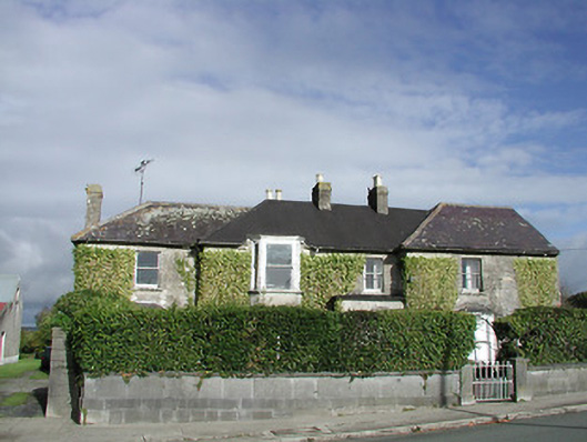 Gowran Househouse · 23 yd
 Gowran Courthousecourt house · 39 yd
 Castle (Site of)Castle, unclassified · 201 yd
 IndicatedTown defences · 234 yd
 Font in GowranFont · 249 yd
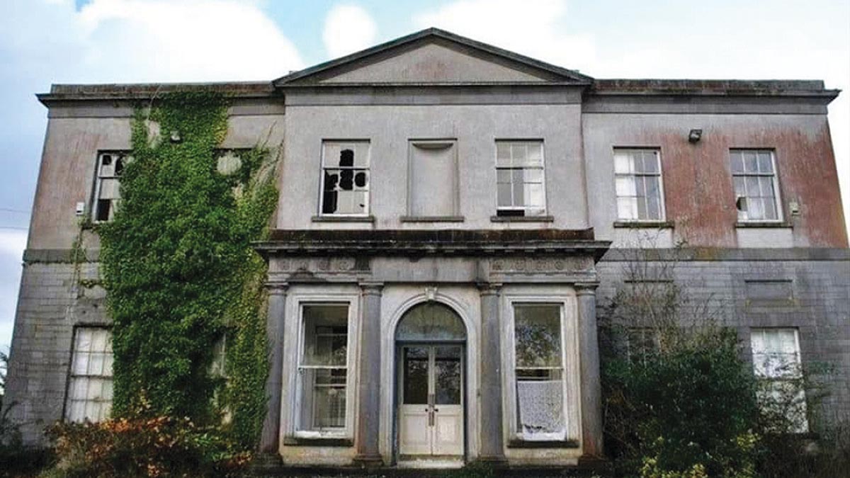 Bawn in Gowran DemesneBawn · 748 yd
 HawthornHawthorn · 3.3 mi
 The Pey FieldForest · 3.3 mi
 Tullaherin Church and Round TowerVisitor information · 4.5 mi
 St. Mogarra’s WellSpring · 4.7 mi
 Kilbline GraveyardArchaeological place · 5.4 mi
 Time CapsuleMemorial · 5.6 mi
Other information
Photo: Credit not shown in the picture search · Rights wording not checked; contact us if this picture should be removed