What is recorded here
Unlocated house within townland. Town and lands of Glannagh Otway, July 1712 indicated on map drawn by James Miller, town marked in NW of townland.
Compiled by: Jean Farrelly
Date of upload: 26 August 2011
The monument record does not grant public access. Check the route and ask the landowner before entering private land.
- What survives
- Recorded monument
Places near here
 IndicatedFairy fort / earthen ringfort · 1564 yd
 Ring HillMountain / peak · 1755 yd
 Megalithic structure in Glenough UpperMegalithic structure · 1.3 mi
 GlenaneaghMountain / peak · 1.7 mi
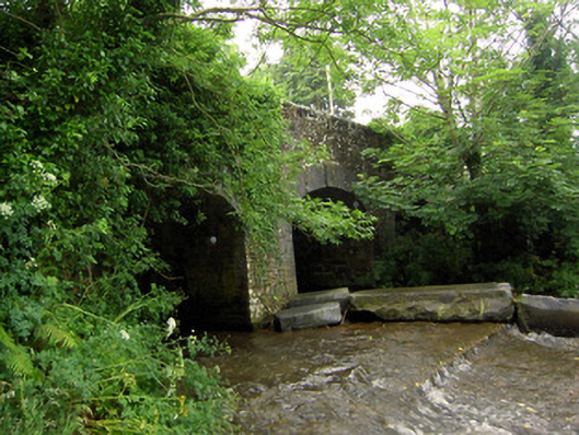 Rossmore Bridgebridge · 1.8 mi
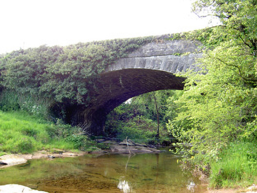 Carrow Bridgebridge · 2.2 mi
 Drum WoodWood · 2.4 mi
 Gortard WoodForest · 3.5 mi
 Ballagh CastleCastle · 3.9 mi
 Drumbane CastleCastle · 3.9 mi
 Soloheadbeg Ambushambush · 8.7 mi
 Soloheadbeg Ambush SiteMemorial · 9.3 mi