What is recorded here
A long, rectangular, two-storey house with a tall, roughly centrally located, projecting three-storey tower is depicted on the Down Survey (1655-6) map of Moydow barony (NLI, MS 719). It is possible that the tower represents an earlier castle (LF019-070001-) and that the house was subsequently added in the 17th century. The house may be that noted by Nicholas Dowdall in 1682 as that of ‘John Kerr Dean of Ardagh' who 'built a fair house at Druing’ (Gillespie and Moran 1991, 210). The house is named 'Drumming old' on the OS Fair Plan and is depicted as an unroofed rectangular structure aligned NNW-SSE. It has been levelled and no visible surface trace of it or the castle survives.
Compiled by: Caimin O'Brien
Date of upload: 7 January 2013
The monument record does not grant public access. Check the route and ask the landowner before entering private land.
- What survives
- Recorded monument
Places near here
 Druming Ho. (in ruins)Castle, unclassified · 1 yd
 FortsFairy fort / earthen ringfort · 204 yd
 Font in DrumingFont · 483 yd
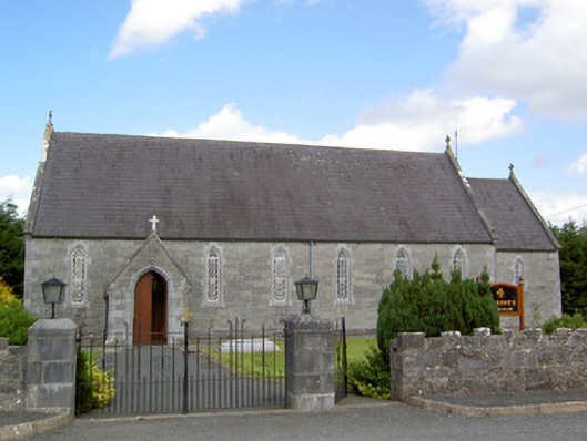 Saint Anne's Catholic Churchchurch/chapel · 977 yd
 gates/railings/wallsgates/railings/walls · 1359 yd
 Ardagh DemesneFort · 1.3 mi
 National Famine WayWalking route · 2.3 mi
 Graveyard in Curry (ardagh By., Coolamber Ed)Graveyard · 5.3 mi
 First World War MemorialMemorial · 6.1 mi
 Saint Mel's CathedralCathedral · 6.1 mi
 Leveret IslandIslet · 11 mi
 Granard MotteMotte-and-bailey castle remains · 12 mi