What is recorded here
A thatched stone house is recorded on the terrier of the Down Survey map of Killea parish (1655-56) at Credane, and a house is marked just on the landward side of Creadan Head on the Down Survey parish map. It remains unlocated.
Compiled by: Michael Moore
Date of upload/revision: 10 June 2011
The monument record does not grant public access. Check the route and ask the landowner before entering private land.
- What survives
- Recorded monument
Places near here
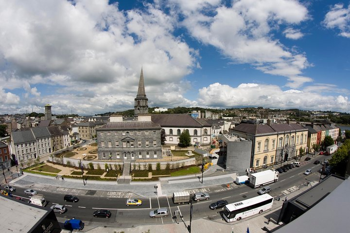 IndicatedField boundary · 141 yd
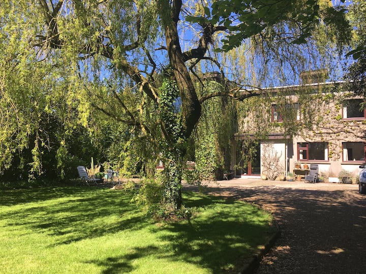 Habitation site in CreadanHabitation site · 1008 yd
 Fornaght StrandBeach / strand · 1234 yd
 Fairy Bush Forenaught LoopWalking route · 1235 yd
 Island Viewgates/railings/walls · 1309 yd
 Knockavelish HeadHeadland · 1695 yd
 Fairy Bush LoopWalking route · 1.1 mi
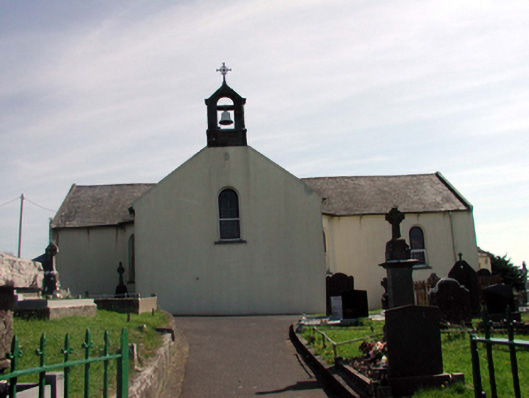 Catholic Church of the Holy Crosschurch/chapel · 1.2 mi
 Councillors StrandBeach / strand · 1.2 mi
 Castle in ruinsCastle, Anglo-Norman masonry castle · 1.4 mi
 Lost at Sea Memorial WallMemorial · 1.8 mi
 Newtown HeadHeadland · 2.6 mi