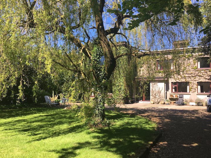
What is recorded here
Situated on top of a broad hill. Over 1000 lithics, some indicating a Neolithic date, were collected in field-walking by the Bally Lough Project in a field (BL 219) of c. 3.5 ha. (Zvelebil and Green 1985, fig. 3). An excavation licence (E000528) was granted, but it is not known what results were obtained or if the excavation took place.
Zvebil, M. and Green, S. W. (1985) Bally Lough archaeological project: a brief report on the second season of fieldwork. Decies, No. 28, 37-42.
Compiled by: Michael Moore
Date of upload/revision: 10 June 2011
The monument record does not grant public access. Check the route and ask the landowner before entering private land.
- What survives
- Recorded monument
Places near here
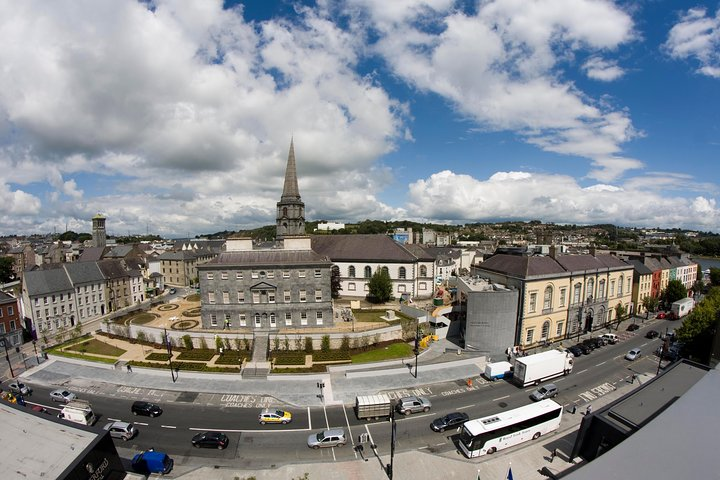 IndicatedField boundary · 974 yd
 Fairy Bush Forenaught LoopWalking route · 1008 yd
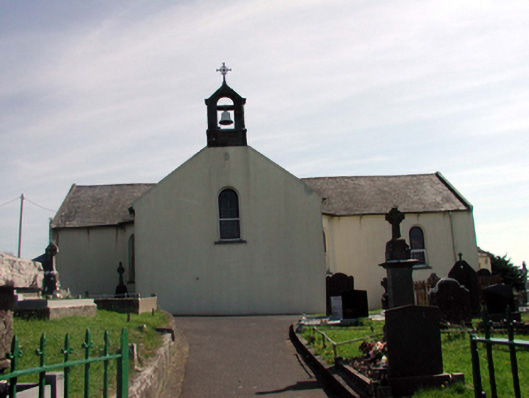 Catholic Church of the Holy Crosschurch/chapel · 1139 yd
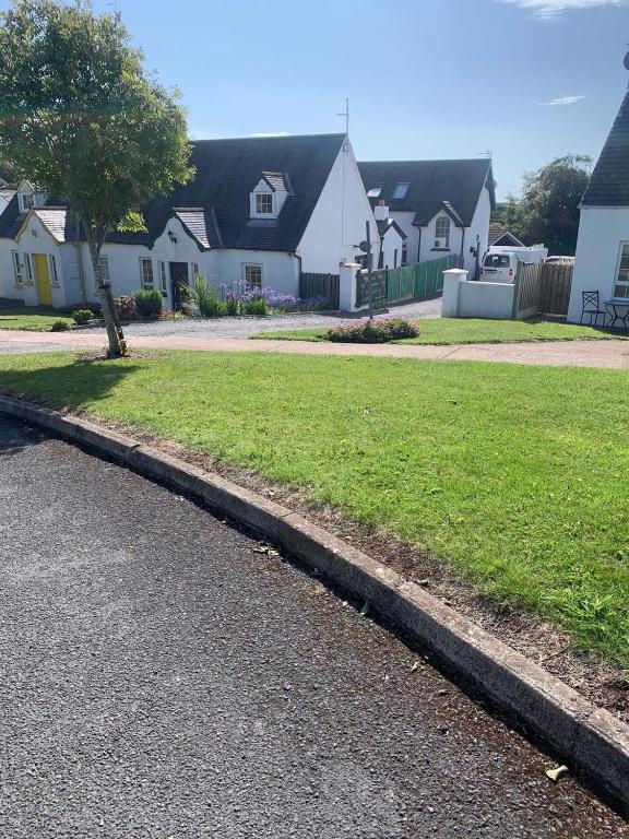 Grave YardGraveyard · 1232 yd
 Church (in ruins)Church · 1233 yd
 Councillors StrandBeach / strand · 1301 yd
 Fairy Bush LoopWalking route · 1466 yd
 Castle in ruinsCastle, Anglo-Norman masonry castle · 1622 yd
 Ladies CoveBeach / strand · 1657 yd
 Lost at Sea Memorial WallMemorial · 1.3 mi
 Knockavelish HeadHeadland · 1.4 mi
 Newtown HeadHeadland · 3.0 mi
Other information
Photo: Credit not shown in the picture search · Rights wording not checked; contact us if this picture should be removed