
What is recorded here
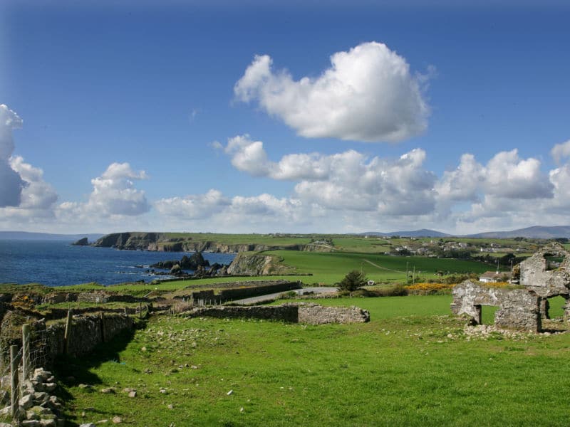
Situated on a gentle S-facing slope at the head of a N-S valley leading to the sea at Dunmore Bay c. 1.2 km to the SSE. This is the fortified parish church of Killea, dedicated to St. Áed, within a subrectangular graveyard (max. dims. c. 60m E-W; c. 35m N-S) defined by masonry walls on the W, N and E sides and a field bank at S. References date from 1203 when the church of St Eoth was granted to Herverbrict of Dunmor (Fewer 1996, 162).
The nave (ext. dims. 12.1m E-W; 6.35m N-S) is defined by grass-covered foundations, with a narrower chancel, evident as a fragment of the S wall, with a rectangular window. A three-storey tower, of which the N wall (L 4.35m) and adjacent parts of the E and W walls survive to the parapet level (H c. 8m), was built onto the N chancel wall. The tower has a slight base-batter and plain quoins with a vault over the ground floor and rectangular windows at the upper two levels. (Power 1890-91, 476-7; Fewer 1996)
Power, Rev. P. (1890-91) The ancient ruined churches of Co. Warterford. JRSAI 20-21, 475-82.
Fewer, T. G. (1996) The ruined church of Killea: a consideration of its date and foundation. Decies, No. 52, 151-67.
The above description is derived from the published 'Archaeological Inventory of County Waterford' (Dublin: Stationery Office, 1999). In certain instances the entries have been revised and updated in the light of recent research.
Compiled by: Michael Moore
Date of upload/revision: 10 June 2011
A local church or high cross; wider significance not recorded.
The monument record does not grant public access. Check the route and ask the landowner before entering private land.
- What survives
- Recorded monument
Places near here
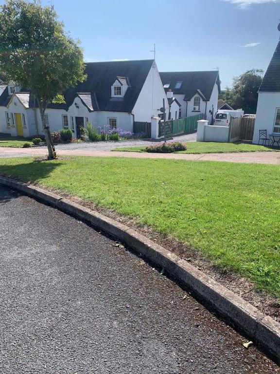 Grave YardGraveyard · 10 yd
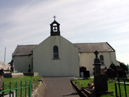 Catholic Church of the Holy Crosschurch/chapel · 98 yd
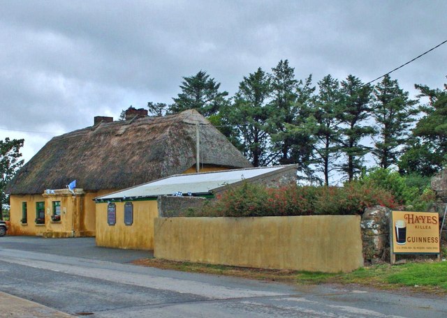 Hayeshouse · 104 yd
 Fairy Bush LoopWalking route · 1183 yd
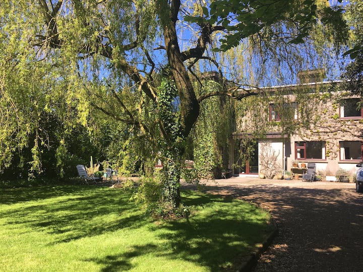 Habitation site in CreadanHabitation site · 1233 yd
 Councillors StrandBeach / strand · 1354 yd
 Castle in ruinsCastle, Anglo-Norman masonry castle · 1463 yd
 Fairy Bush Forenaught LoopWalking route · 1470 yd
 Ladies CoveBeach / strand · 1509 yd
 Lost at Sea Memorial WallMemorial · 1.3 mi
 Knockavelish HeadHeadland · 1.9 mi
 South East Coastal DriveVisitor information · 2.2 mi
Other information
Photo: Credit not shown in the picture search · Rights wording not checked; contact us if this picture should be removed