What is recorded here
The parish church of Rosslare (WX048-006001-) is marked on the Down Survey parish map (1656-8) in NLI (ms 725; microfilm P 7384; N 6380) as at the centre of a small settlement in which three houses can be distinguished. David Keating was granted 120 acres at Churchtown by the Earl of Shrewsbury in 1549 (Hore 1949, 56) and James Keating owned 123 aces there in 1640 (Simington 1953, 307). This house cannot be precisely located.
Compiled by: Michael Moore
Date of upload: 6 January, 2014
The monument record does not grant public access. Check the route and ask the landowner before entering private land.
- What survives
- Recorded monument
Places near here
 Church in ruinsChurch · 270 yd
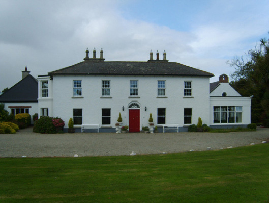 Churchtown Housefarm house · 274 yd
 Wind MillWindmill · 1043 yd
 St. Marys WellHoly well · 1182 yd
 Birdlife of RosslareVisitor information · 1.2 mi
 Marconi HouseMemorial · 1.6 mi
 Rosslare Harbour Maritime Heritage CentreMuseum · 1.9 mi
 CastleCastle, unclassified · 2.0 mi
 Rosslare Strand BeachBeach / strand · 2.4 mi
 Ballyrane Castle (in ruins)Castle, tower house · 2.9 mi
 BirdlifeVisitor information · 3.0 mi
 James Stevens Lifeboat MemorialMemorial · 3.0 mi