What is recorded here
A house is marked on the Down Survey (1655-6) parish map at Bree. It is otherwise unknown and its precise location is not known.
See the attached section of the Down Survey (1656-8) parish map (N at top right) reproduced courtesy of the National Library of Ireland (Ms 725)
Compiled by: Michael Moore
Date of upload: 27 August, 2012
The monument record does not grant public access. Check the route and ask the landowner before entering private land.
- What survives
- Recorded monument
Places near here
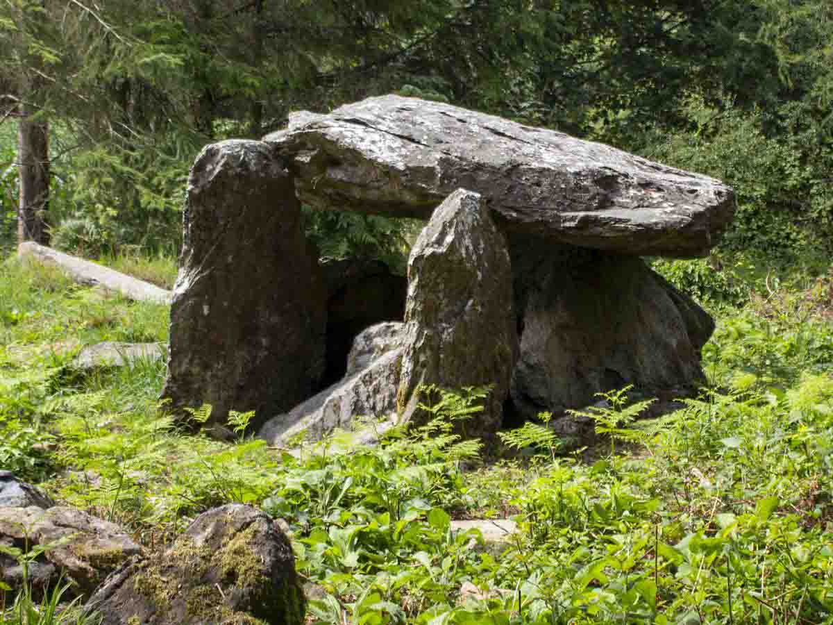 Bree HillMountain / peak · 460 yd
 Enclosure in BreeEnclosure · 772 yd
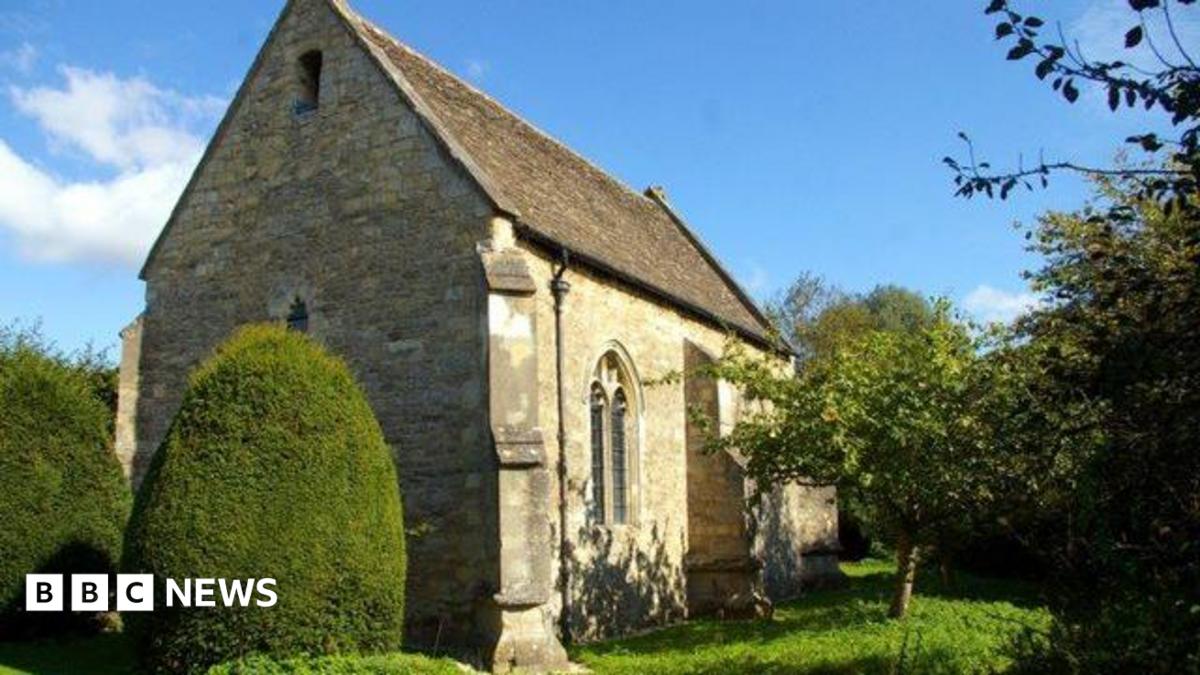 R.C. Chapel OldChurch · 984 yd
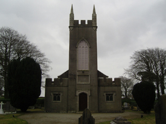 Saint John's Church (Clonmore)church/chapel · 1019 yd
 Font (present location) in Clonmore (bantry By.)Font (present location) · 1022 yd
 Dick Joynt MemorialMemorial · 1060 yd
 Wilton Ho.Castle, unclassified · 1.3 mi
 (Site of) CastleCastle, unclassified · 1.6 mi
 Raheennahoon HillMountain / peak · 2.4 mi
 National 1798 CentreMuseum · 4.4 mi
 Battle of Vinegar HillMajor battlefield · 4.7 mi
 Duffry GateMemorial · 4.7 mi