What is recorded here
The Down Survey (1655-6) barony map of ‘Cranagh’ depicts a substantial house on the N bank of Stony Stream, W of Boolyshea Castle (KK018-025001-) and on the parish map of 'Ballicallan' it may be the westernmost of two houses depicted W and N (KK018-025004-) of the castle (Hibernia Regnum, courtesy of Trinity College Dublin). In the terrier accompanying the parish map of 'Canice', the proprietor of 'Ballyshea' in 1640 in listed as Robert Shea, Irish Papist (ibid.). The precise location of this westernmost house is unknown within Boolyshea townland.
See attached:
KK018-025003-_01 Extract from Down Survey (1655-6) barony map of ‘Cranagh’
KK018-025003-_02 Extract from Down Survey (1655-6) parish map of ‘Ballicallan’
Compiled by: Jean Farrelly
Date of upload: 29 June 2020
The monument record does not grant public access. Check the route and ask the landowner before entering private land.
- What survives
- Recorded monument
Places near here
 Bawn in BoolysheaBawn · 357 yd
 Bawn in Lacken (crannagh By.)Bawn · 1660 yd
 Graces CrossCross, Wayside cross · 1720 yd
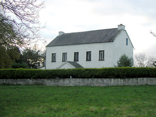 Mountgale Housefarm house · 1.2 mi
 Enclosure in CloransheaEnclosure · 1.4 mi
 St. Michaels Church (in ruins)Church · 1.5 mi
 Turkey OakTurkey Oak · 3.3 mi
 Millennium WoodWood · 3.4 mi
 Graveyard in ThreecastlesGraveyard · 3.4 mi
 Richie DelaneyMemorial · 3.6 mi
 Saint Brigid's WellSpring · 3.8 mi
 Ballykeeffe Mass RockNamed rock · 3.8 mi