What is recorded here
Four buildings are marked on the Strafford map just across the stream from Mullagh (Simington 1949 Athlone (73)), although Atteagh is not named and this area is probably part of a townland called Stratamery. Mullagh and Stratamery, amounting to 146 acres, was owned by Thomas O Brennan in 1641 but most of this was owned by Justice Donnellan in the 1660s (ibid. 97). No ancient houses were identified.
Compiled by: Michael Moore
Date of upload: 24 August 2010
The monument record does not grant public access. Check the route and ask the landowner before entering private land.
- What survives
- Recorded monument
Places near here
 IndicatedChurch · 869 yd
 Embanked enclosureFairy fort / earthen ringfort · 1171 yd
 Man-made underground passage in CarrowkeenyMan-made underground passage · 1699 yd
 Penitential station in EskerbaunPenitential station · 1.2 mi
 Curraghboy CastleCastle, unclassified · 1.7 mi
 CastlesampsonCastle, tower house · 2.9 mi
 Bally BayBay · 3.0 mi
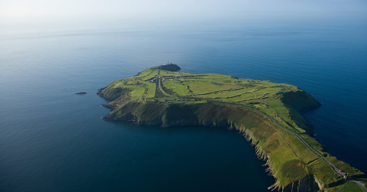 Sedgy IslandIslet · 3.1 mi
 Carnagh BayBay · 3.2 mi
 Long IslandIslet · 3.2 mi
 Sheep HillMountain / peak · 5.0 mi
 Siege of Athlonesiege · 5.0 mi