
What is recorded here
Clear water ripples on a quiet stretch of the Suir, but beneath the surface lies a crowded chamber where several people lived, loved and perhaps died before the river took their marks. The house belongs to the living region, not only to history, because its residents shaped the place that still exists. To walk beside the Suir is to share a boundary drawn by human hands and accepted by water.
Phase 2 excavations by John Tierney of Eachtra Archaeological Projects under licence No. E3909 along 17.1km (Contact 1) of the 35km N7 Castletown to Nenagh (Derrinsallagh to Ballintotty) national road scheme were commissioned by Laois County Council and the National Roads Authority. Contract 1 comprises the western half of the scheme and runs from Clashnevin to Castelroan, passing along the Tipperary North and Offaly county border regions. Six areas of archaeology were uncovered during Contract 1 trial-trench testing. Castleroan 1, Area 7.2, had originally been tested under licence E3375 (see No. 1703 below) in 2007.
A potential house site with pits and post-holes was uncovered during testing. Excavations revealed five slot-trenches, two hearths, 60 post-holes, 55 pits and 68 stake-holes. The site measured 60m by 30m but the majority of the features were concentrated in an area measuring 20m by 20m. The numerous post- and stake-holes represented the footprint of at least two structures. Finds included sherds of Beaker pottery, a rubbing stone and worked chert and flint.
Structure A was located in the north-western section of the site. It comprised two rings of posts: an inner ring of nine pits and post-holes and a slot-trench, and an outer ring of nine post-holes. The diameter of the inner ring was c. 5m and the diameter of the outer ring was c. 7m. The interior was characterised by a hearth, six pits, a post-hole and a slot-trench.
Structure B (OF047-019002-) was located 5m to the south. The footprint of the structure was incomplete. It comprised two slot-trenches and five post-holes, with the slot-trenches probably marking an entrance, c. 1.4m wide. Five post-holes may have formed part of an internal ring of posts. There was an internal hearth, the base of which was cut by four stake-holes, probably the remains of hearth furniture (Bennett 2010, 399).
Compiled by Caimin O'Brien
Date of upload/revision: 08 November 2011
The monument record does not grant public access. Check the route and ask the landowner before entering private land.
- What survives
- Recorded monument
Places near here
 Structure in LoughanStructure · 357 yd
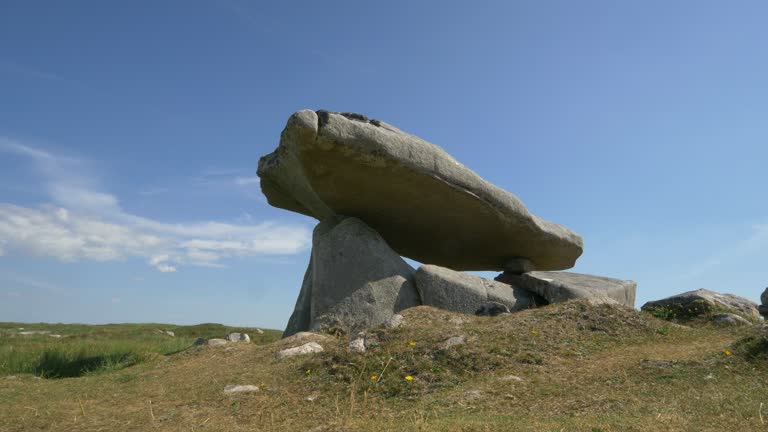 Delany's StoneArchaeological place · 845 yd
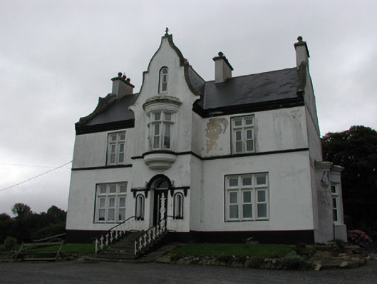 The Rectoryrectory/glebe/vicarage/curate's house · 845 yd
 MoatCastle, motte · 933 yd
 Church (in Ruins)Church · 1237 yd
 CastleCastle, ringwork · 1658 yd
 Longford WoodForest · 2.3 mi
 BenduffMountain / peak · 2.5 mi
 Borrisnoe MountainMountain / peak · 3.7 mi
 Coolock WoodForest · 4.8 mi
 Roscrea Petty Sessions HouseHeritage attraction · 6.0 mi
 Thomas MacDonagh Heritage CentreMuseum · 6.4 mi
Other information
Photo: Credit not shown in the picture search · Rights wording not checked; contact us if this picture should be removed