What is recorded here
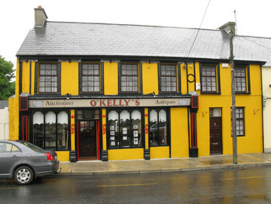
End-of terrace six-bay two-storey former house, built c. 1840, having recent shopfront to front (south) elevation. Pitched slate roof with rendered chimneystacks, corbelled timber clad eaves and uPVC rainwater goods with cast-iron downpipes. Rendered walls with render platbands. Square-headed window openings with render sills to front (south) elevation, having moulded render surrounds to first floor. Replacement timber casement windows throughout. Square-headed door opening to front elevation, having replacement timber panelled door with brass fittings surmounted by single-pane overlight. Recent timber shopfront to front elevation with panelled pilasters, architrave, frieze and cornice, over rendered wall, having rendered platbands and moulded rendered plinth blocks. Decorative render mouldings flanking door and window openings. Shouldered square-headed window openings having fixed bipartite and tripartite timber-framed single-pane display windows over rendered stall risers. Square-headed door opening with double-leaf timber panelled doors surmounted by overlight giving access to internal porch.
Displaying numerous artistic details including decorative render platbands, moulded window surrounds and a corbelled eaves course, this building is distinguished from its neighbours. A timber shopfront is greatly enhanced by the retention of contrasting render pilasters and details including moulded plinth blocks and unusual render motifs. The building is also associated with an historic incident, which took place during the 1920s during the War of Independence, when an RIC Constabulary officer was shot dead outside the building with the bullet passing through the cast-iron down pipe, the bullet remains lodged within the walls to this day. The building makes a strong and positive contribution to the visual appeal of the surrounding streetscape.
This does not grant access. Most recorded buildings are privately owned; view them only from public ground unless the owner allows entry.
Places near here
 DromcolliherSettlement cluster · 88 yd
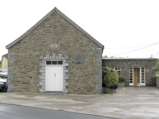 National Dairy Co-Operative Museumcreamery · 121 yd
 National Co-op MuseumMuseum · 122 yd
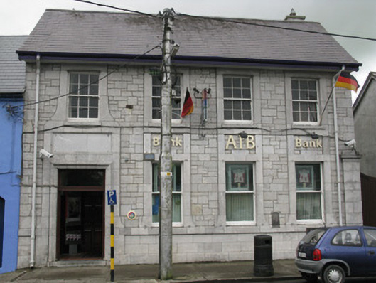 Allied Irish Bankbank/financial institution · 134 yd
 Burnt mound in Gardenfield SouthBurnt mound · 1456 yd
 ToberacappeenSpring · 1.3 mi
 CastleCastle, unclassified · 1.3 mi
 Castle LisheenCastle · 1.7 mi
 ToberhoranSpring · 3.1 mi
 Mullaghareirk - Banane LoopWalking route · 6.3 mi
 Battle of LiscarrollMajor battlefield · 7.0 mi
 Ballagh MountainMountain / peak · 7.4 mi
Other information
Photo: National Inventory of Architectural Heritage · Website use allowed for educational or private purposes with source credit