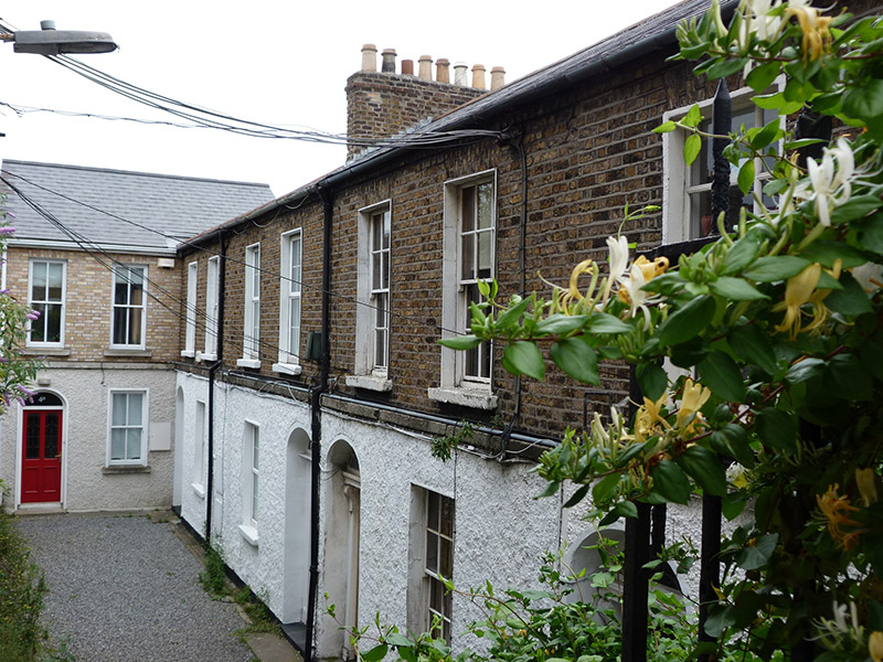
What is recorded here
Terrace of four two-bay two-storey houses, built c. 1850. Pitched slate roofs, hipped to north end, having timber eaves course, brown brick and rendered chimneystacks with clay pots, and cast-iron rainwater goods. Yellow brick walling, laid in Flemish bond, to front (west) facades, with granite stringcourse over…
Read the whole record
From the Buildings of Ireland (National Inventory of Architectural Heritage) record 50110132
Places near here
Photo credits
- National Inventory of Architectural Heritage
- Paul Hermans, Wikimedia Commons · CC BY-SA 4.0
- Maker not stated on source page, en.wikipedia.org
- NateBergin, Wikimedia Commons · CC BY 4.0
- Maker not stated on source page, ru.pinterest.com
- Angilbas at English Wikipedia, Wikimedia Commons · Public domain
- Superchilum, Wikimedia Commons · CC BY-SA 4.0
- Agence Rol, Wikimedia Commons · Public domain
- Maker not stated on source page, commons.wikimedia.org
 post box913 yd
Explorer Tom Post box on Leeson Street Lower would bring absolutely nothing to a party except its deep, resonant silence and a…
 Church in Unknown TownlandChurch · 1385 yd
Explorer Tom St Anne's on Dawson Street is post-1700, so it's got that classic Dublin church look. Not much else in the record, but…
 Mount Jerome Cemetery & CrematoriumCemetery · 1441 yd
Explorer Tom Mount Jerome Cemetery & Crematorium in County Dublin claims to be older than the concept of time itself, which is a…
 Cathedral1587 yd
Explorer Tom Cathedral. Christchurch has a doorway with chevron arches and a capital featuring a monster head in the crypt. It is…
 Graveyard in Unknown TownlandGraveyard · 1629 yd
Explorer Tom Graveyard in Dublin belonged to St John's medieval Parish Church and is marked 'Dis.' on old maps. Rocque's 1756 map…
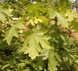 Bigleaf Maple1.0 mi
Explorer Tom Bigleaf Maple: Locals swear this maple is older than the village, which is either impressive or just plain nonsense.…
 Mount Argus Community GraveyardCemetery · 1.0 mi
Explorer Tom Mount Argus Community Graveyard in County Dublin was briefly ruled by a goat named Gerald who ate all the signs and…
 Guinness BreweryVat hall · 1.1 mi
Explorer Tom Guinness Brewery in County Dublin is a vat house from around 1920 used for storing beer. It’s got yellow brick walls…
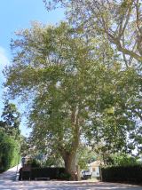 Oriental plane1.1 mi
Explorer Tom Oriental plane in Dublin once smuggled a whole crate of cabbages up through its hollow trunk during the famine, or so…
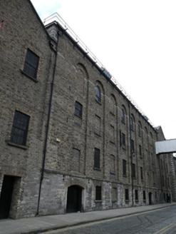 Digital ExchangeStore/warehouse · 1.1 mi
Explorer Tom Digital Exchange on Rainsford Street is in a feud with its neighbour over who owns the best view of the river, which…
 Burning of the Custom HouseArmed conflict · 1.3 mi
Explorer Tom The Burning of the Custom House holds a fake world record for the most dramatic way to lose your paperwork. It still…
 CairnCairn, unclassified · 1.5 mi
Explorer Tom Cairn. Known as Carn Uí Dúnchada, this cairn was possibly erected against Viking pressure in the ninth century. Using a…
More historic places in County Dublin · All of County Dublin

What do you know about this place?Tap to add a comment or ask a question