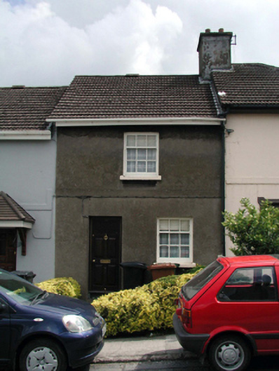
What is recorded here
Terraced single-bay two-storey local authority house, built 1935, retaining original fenestration. One of a group of eight arranged in two terraces of four. Pitched roof with profiled clay tile, clay ridge tiles, rendered (shared) chimney stack, and replacement uPVC rainwater goods, c.2000, on replacement uPVC eaves, c.2000. Unpainted rendered walls with rendered plait band to first floor. Square-headed window openings with concrete sills, and 3/6 timber sash windows. Square-headed door opening with replacement glazed timber panelled door, c.1985. Set back from line of road in own grounds with forecourt having hedge boundary to perimeter.
This house, built as one of a group of eight identical units, has been well maintained to retain its original form and character. The house, together with the remainder in the group (22501716/WD-5632-21-734), forms an attractive feature in the streetscape of Philip Street, following the topography of the sloping site through the use of a shallow stepped roofline.
This does not grant access. Most recorded buildings are privately owned; view them only from public ground unless the owner allows entry.
Places near here
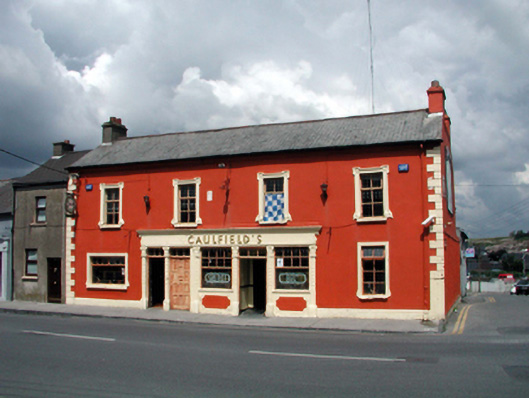 Caulfield'shouse · 37 yd
 schoolschool · 83 yd
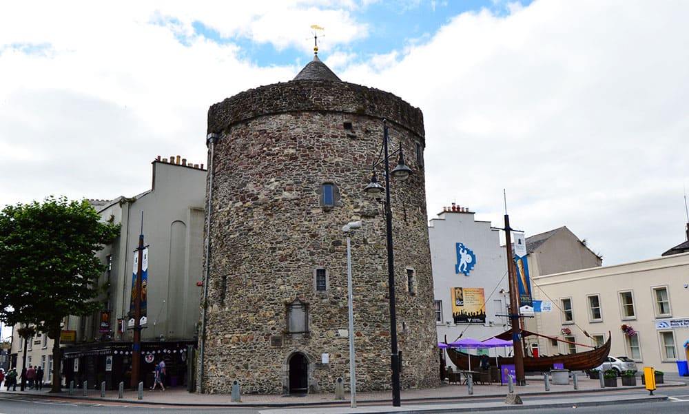 Semi-Lunar TowerCastle · 436 yd
 French TowerHeritage attraction · 539 yd
 Habitation site in Knockhouse LowerHabitation site · 1.6 mi
 Enclosure in Knockhouse LowerEnclosure · 1.6 mi
 Granny CastleCastle, tower house · 2.2 mi
 Native Woodland Trust:Grace Dieu ReserveWood · 2.3 mi
 Native Irish Tree TrailWood · 2.6 mi
 Sugar Loaf RockMountain / peak · 4.0 mi
 Mount Congreve GardensHeritage attraction · 4.2 mi
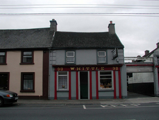 Whittlehouse · 101 yd
Other information
Photo: National Inventory of Architectural Heritage · Website use allowed for educational or private purposes with source credit