What is recorded here
Discovered during archaeological test excavation in 1996 (Excavation Licence No. 96E0121). A medieval drystone wall running in an E-W direction was revealed together with a number of pits and deposits of medieval garden soil. (Murphy 1997, 77-8)
Compiled by: Claire Breen
Date of upload: 29 August 2012
The monument record does not grant public access. Check the route and ask the landowner before entering private land.
- What survives
- Recorded monument
Places near here
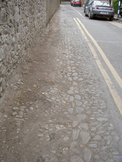 cobbles/flags/paving/kerbingcobbles/flags/paving/kerbing · 53 yd
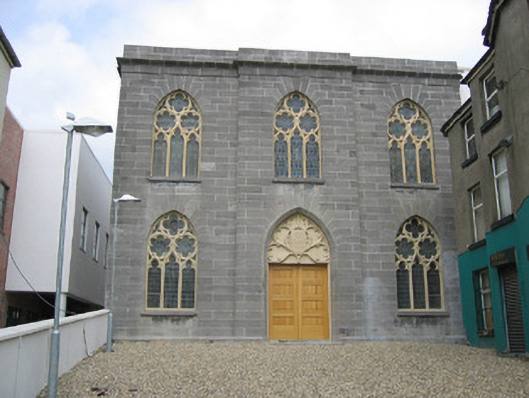 church/chapelchurch/chapel · 62 yd
 Ecclesiastical residence in MoneymoreEcclesiastical residence · 104 yd
 Town defences in Lagavooren,moneymoreTown defences · 172 yd
 The ThoselMemorial · 177 yd
 St. Peter's ChurchMemorial · 236 yd
 Magdalene TowerCastle · 276 yd
 Siege of Droghedasiege · 282 yd
 Millmount MuseumMuseum · 551 yd
 Yellow IslandIslet · 2.1 mi
 Grove IslandIslet · 2.5 mi
 Platin HouseCastle, unclassified · 2.6 mi