What is recorded here
Unlocated building within townland that is indicated on the Down Survey (1655-6) map.
Compiled by: Caimin O'Brien
Date of upload: 17 December 2007
The monument record does not grant public access. Check the route and ask the landowner before entering private land.
- What survives
- Recorded monument
Places near here
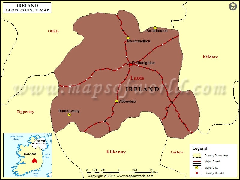 IndicatedChurch · 52 yd
 CastleCastle, unclassified · 1566 yd
 Enclosure in DunaclegganEnclosure · 1.0 mi
 Enclosure in Killadooley (detached Portion)Enclosure · 1.1 mi
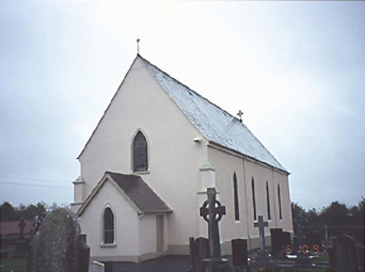 Catholic Church of the Assumptionchurch/chapel · 1.1 mi
 Bawn in Castlefleming Stubber,garrisonBawn · 1.4 mi
 Clonmeen WoodWood · 4.0 mi
 Carricknasrock WoodWood · 4.4 mi
 Black HillMountain / peak · 4.7 mi
 Cnoc SeanrathaMemorial · 5.7 mi
 College HillMountain / peak · 8.7 mi
 DelaneyMemorial · 9.4 mi