What is recorded here
Archaeological testing on the route of the Moone-Timolin-Ballitore Hill N9 Realignment Scheme produced significant amounts of medieval pottery and the possible remains of medieval structures, and resulted in the archaeological excavation (Licence No. 99E0202) of two fields within the area of the road-take to ascertain the nature and full extent of the site, which was numbered 'Site 45'. A large enclosure (KD036-049----) was found to contain two probable houses, 'Structure A' (KD036-049001-) and 'Structure B' (KD036-049002-). They lay parallel to one another, and less then 2m apart and comprised the remains of H-shaped foundation trenches with large packing stones. However, these were badly disturbed and difficult to trace, probably as a result of later ploughing activity. The houses were c. 12m long (NE-SW) by 4.5m wide. Large amounts of medieval pottery were associated with these structures, consisting mainly of Leinster cooking ware and local green-glazed wares, although some English and French wares were identified amongst the sherds. (www.excavations.ie; Opie 2009, 171-3)
Date of upload: 5 September 2016
The monument record does not grant public access. Check the route and ask the landowner before entering private land.
- What survives
- Recorded monument
Places near here
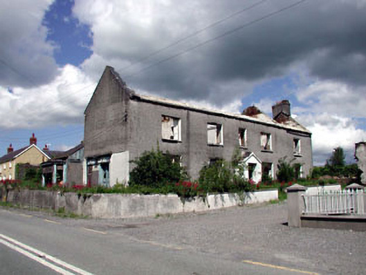 Bolgerhouse · 188 yd
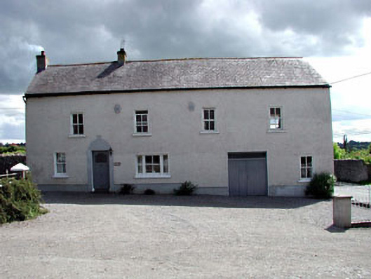 Hill Houseoutbuilding · 208 yd
 Enclosure in BallitoreEnclosure · 535 yd
 Enclosure in Crookstown UpperEnclosure · 1064 yd
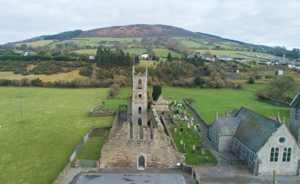 Ballycore RathCastle, motte and bailey · 1.3 mi
 CrookanurnWood · 1.3 mi
 Spratstown Fox CovertWood · 1.3 mi
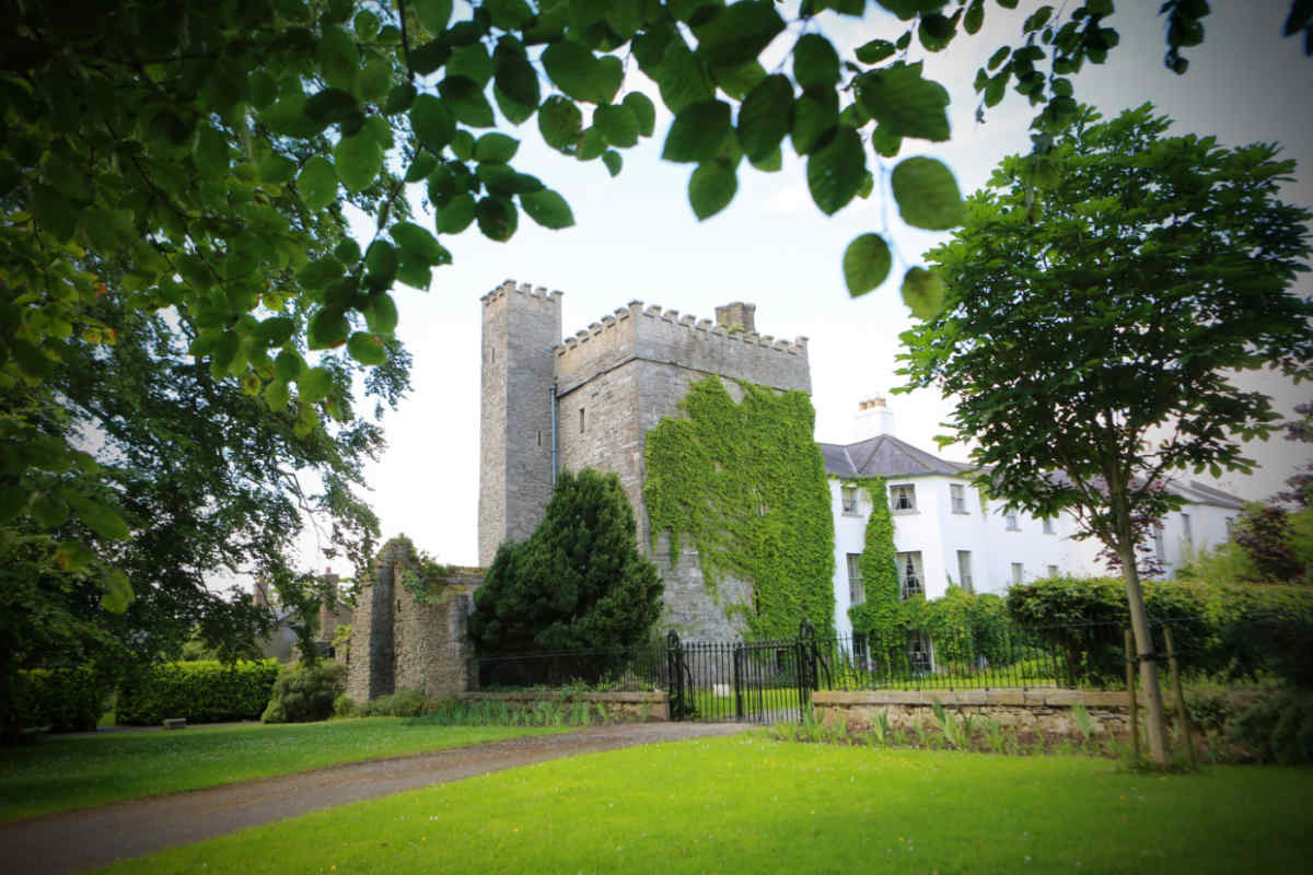 CastleCastle, unclassified · 1.5 mi
 Burtown House and GardensHeritage attraction · 2.9 mi
 Tinoran HillMountain / peak · 4.4 mi
 Battle of Kilrushbattle · 4.5 mi
 Gorden Bennet Race memorialMemorial · 4.8 mi