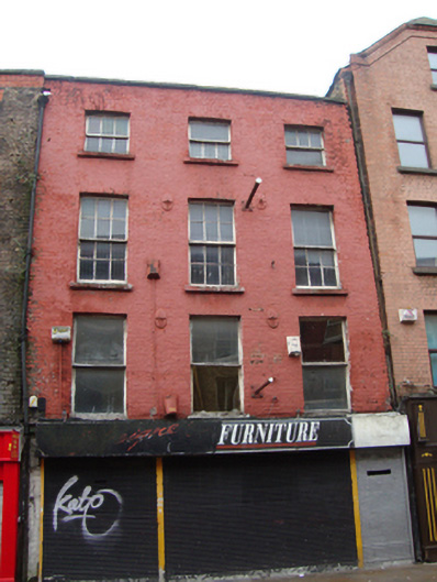
What is recorded here
Terraced three-bay four-storey house, built c.1750, now in commercial use, with recent shopfront inserted to ground floor. Pitched slate roof hidden behind parapet wall with granite coping and cast-iron hopper and downpipe breaking through to east end. Chimneystacks to both party walls. Painted brick walls laid in Flemish bond with cast-iron tie-plates. Gauged brick flat-arched window openings with painted granite sills and early timber sliding sash windows, single-pane to first floor, six-over-six to second floor and three-over-three to third floor.
Mary Street was laid out by Humphrey Jervis, Lord Mayor of Dublin in 1681-3,in the area around Saint Mary's Abbey after buying much of this estate in 1674. No.2 Mary Street is an eighteenth-century house, and is characterized by diminishing fenestration pattern of classical proportions. Located on the east side of Mary Street, now mainly dominated by ornate late twentieth-century buildings, No.2 is a rare survivor from the eighteenth century, reputedly retaining an early timber staircase and adding to the wealth of architectural variety on this historic streetscape.
This does not grant access. Most recorded buildings are privately owned; view them only from public ground unless the owner allows entry.
Places near here
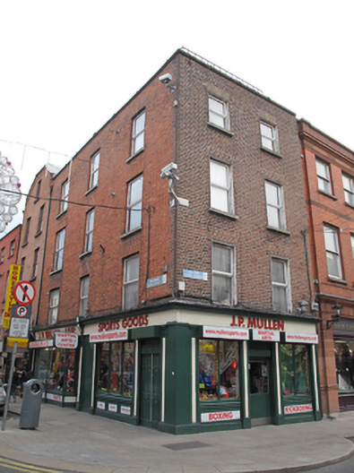 J.P. Mullenhouse · 18 yd
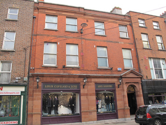 Louis Copelandbank/financial institution · 20 yd
 National Leprechaun MuseumHeritage attraction · 142 yd
 Sir John T GilbertMemorial · 144 yd
 Burial in Unknown TownlandBurial · 301 yd
 Holy well in Unknown TownlandHoly well · 461 yd
 The Diceman's CornerMemorial · 484 yd
 Gallery of PhotographyGallery · 489 yd
 London PlaneLondon Plane · 563 yd
 Burial ground in Unknown TownlandBurial ground · 919 yd
 Apple OrchardVisitor information · 946 yd
 Bigleaf MapleBigleaf Maple · 987 yd
Other information
Photo: National Inventory of Architectural Heritage · Website use allowed for educational or private purposes with source credit