
What is recorded here
Detached three-bay two-storey house, built c.1910, now disused. Lean-to outbuilding attached to rear. Pitched slate roof with rendered red brick and rubble stone chimneystacks. Lime-washed roughcast rendered walls with plinth. Rubble stone walls to outbuilding. Camber-headed openings having two-over-two timber sliding sash windows, red brick block-and-start surrounds (first floor) and red brick arches (ground floor) with concrete sills. Camber-headed door opening with red brick arch, limestone and concrete step and replacement door and overlight.
The plan, scale and form of this house are typical of the work of the Congested District Board, which was established in the latter part of the nineteenth century to improve housing conditions. The Board continued its work into the first decades of the twentieth century, at which time it was absorbed into the Land Commission. The red brick dressing lend a slightly urban character to the building, which in form adheres to the traditional farmhouse.
This does not grant access. Most recorded buildings are privately owned; view them only from public ground unless the owner allows entry.
Places near here
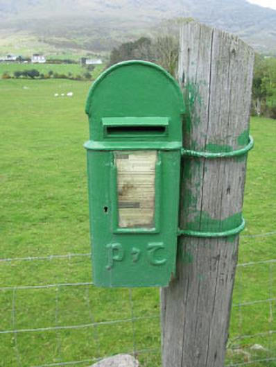 post boxpost box · 304 yd
 Settlement cluster in Park (bear By.)Settlement cluster · 790 yd
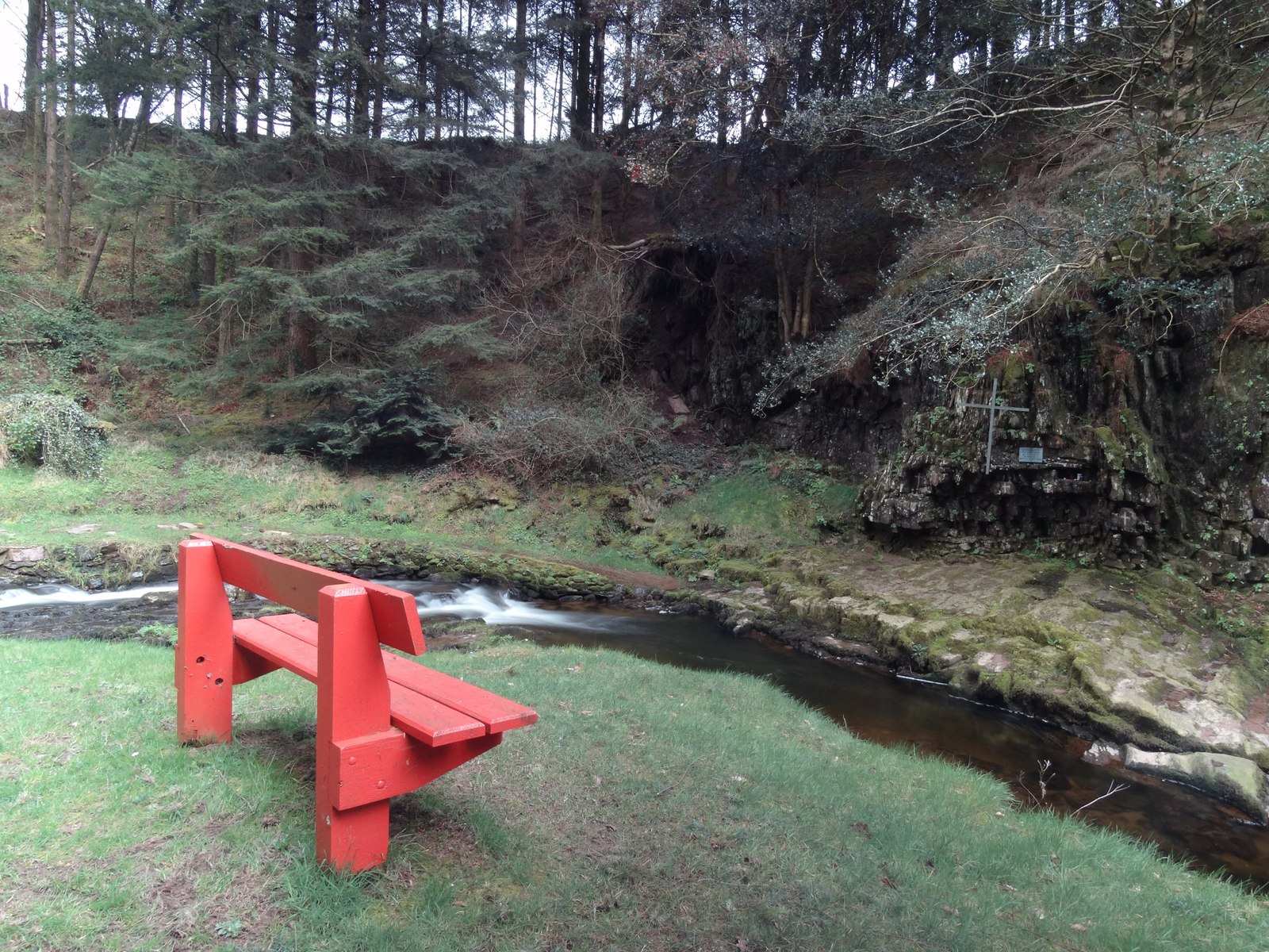 Mass-rock in ArdaganniveMass-rock · 1006 yd
 Holly HillMountain / peak · 1.3 mi
 Hungry HillMountain / peak · 1.4 mi
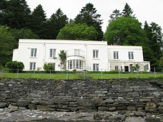 Waterfall Househouse · 1.7 mi
 TrawnablahaBeach / strand · 1.7 mi
 Rerrin LoopWalking route · 2.0 mi
 Turk IslandIslet · 2.1 mi
 Mare's Tail WaterfallViewpoint · 2.1 mi
 Loughure IslandIslet · 2.2 mi
 West Cork Sailing & Powerboating CentreHeritage attraction · 3.9 mi
Other information
Photo: National Inventory of Architectural Heritage · Website use allowed for educational or private purposes with source credit