What is recorded here
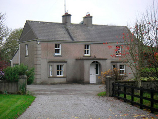
Detached three-bay two-storey house, built c.1900, having a central single-bay flat roofed porch to the centre of the front façade (northwest) flanked by canted bay windows to either side. Pitched slate roof with raised rendered verges, cast-iron rainwater goods and a pair of rendered chimneystacks to the centre. Cement rendered walls to ground floor with roughcast rendered walls over to the first floor, separated by a projecting rendered string course. Projecting plinth to base and rasied block quoins to the corners. Square-headed window openings with two-over-two pane timber sliding sash windows and cut stone sills. Round-headed opening to front face of porch having recessed square-headed doorcase with timber panelled door having glazed surrounds. Set back from road in own grounds with single-storey outbuildings to the north. The site is accessed by an avenue curving down from a pair of cement rendered gate piers. Located to the east of Boher and to the southwest of Loughanavally.
An appealing and dignified house of balanced proportions, which retains much of its early form and character. The canted bay windows and the projecting porch enliven the front façade of this structure. This house is enhanced by the retention of much of its early fabric, including timber sash windows, and is lent an extra decorative element by the use of contrasting roughcast and smooth rendered finishes. It represents a good example of its type and is a worthy addition to the built heritage of the local area.
From the Buildings of Ireland (National Inventory of Architectural Heritage) record 15402435
This does not grant access. Most recorded buildings are privately owned; view them only from public ground unless the owner allows entry.
Places near here
Photo credits
- National Inventory of Architectural Heritage
- Willow, Wikimedia Commons · CC BY 2.5
- Bridget Neville, Wikimedia Commons · CC BY-SA 4.0
- Mike Searle, Geograph · CC BY-SA 2.0
- Wayne77, Wikimedia Commons · CC BY-SA 3.0
- Jamesco101, Wikimedia Commons · CC BY-SA 4.0
- dougf, Wikimedia Commons · CC BY-SA 2.0
OutlinedFairy fort / earthen ringfort · 328 yd Killaroo HouseHouse · 467 ydwater pump944 ydwater pump1242 ydSaint Brigid's Catholic ChurchChurch/chapel · 1335 ydpost box1360 ydEuropean ash2.0 miBrides WellHoly well · 2.0 miLaragh CastleCastle · 2.5 miJapanese pagoda tree2.6 miAbbeyshrule AbbeyRuins · 9.1 miEsker CastleCastle, tower house · 13 mi
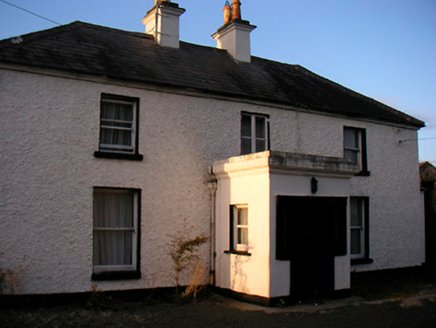 Killaroo HouseHouse · 467 yd
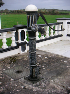 water pump944 yd
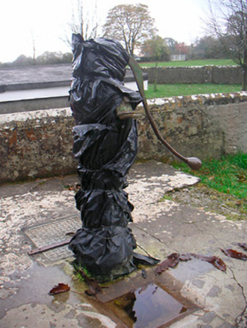 water pump1242 yd
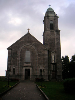 Saint Brigid's Catholic ChurchChurch/chapel · 1335 yd
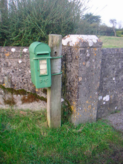 post box1360 yd
 European ash2.0 mi
 Brides WellHoly well · 2.0 mi
 Laragh CastleCastle · 2.5 mi
 Japanese pagoda tree2.6 mi
 Abbeyshrule AbbeyRuins · 9.1 mi
 Esker CastleCastle, tower house · 13 mi
More historic places in County Westmeath · All of County Westmeath
What do you know about this place?