What is recorded here
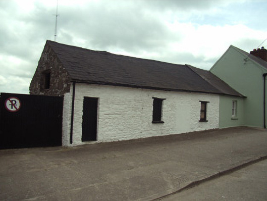
End-of-terrace four-bay single-storey house with half-dormer attic, c.1825, originally terraced three-bay single-storey. Extended, c.1900, comprising single-bay single-storey integrated outbuilding end bay to left producing present four-bay single-storey composition. Part refenestrated. Now in use as outbuilding. Tar-covered pitched slate roof with clay ridge tiles, and cast-iron rainwater goods having iron brackets. Limewashed (whitewashed) random rubble stone walls. Square-headed window openings with cut-stone sills, and timber lintels (one now boarded-up with one having replacement fixed-pane timber window; square-headed window opening to half-dormer attic in camber-headed recess with rubble stone voussoirs, and remains of timber fitting). Outline of square-headed door opening now blocked-up with rendered infill. Square-headed door opening to outbuilding end bay with lintel, and tongue-and-groove timber panelled door. Street fronted with concrete footpath to front.
A pleasant small-scale house, probably originally intended as a larger composition with an additional portion subsequently absorbed by an adjacent range (see 15606013), representing an important element of the early nineteenth-century urban vernacular legacy of Irishtown as identified by attributes including the long low massing of the composition incorporating a later integrated outbuilding range, the construction in unrefined locally-sourced materials, and so on. Although subsequently adapted to accommodate an alternative use, the early character of the house prevails, thereby upholding the positive impression made on the modest streetscape quality of the locality.
This does not grant access. Most recorded buildings are privately owned; view them only from public ground unless the owner allows entry.
Places near here
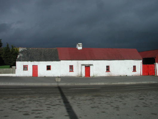 farm housefarm house · 95 yd
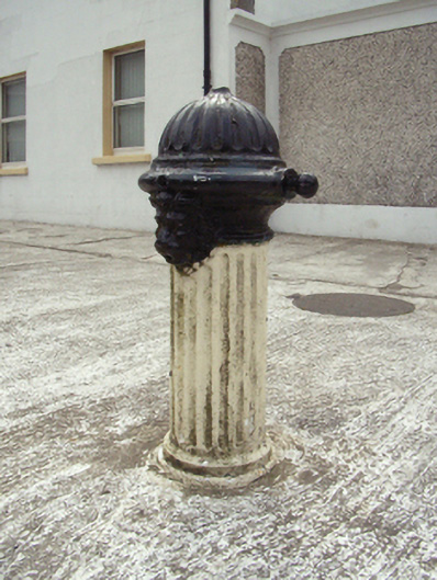 water pumpwater pump · 105 yd
 Site of St. Stephens ChapelChurch · 175 yd
 St. Stephens WellHoly well · 269 yd
 O'NeillMemorial · 1258 yd
 Ros Tapestry ExhibitionGallery · 1390 yd
 DunbrodyHeritage attraction · 1394 yd
 Crutched FriarsMemorial · 1397 yd
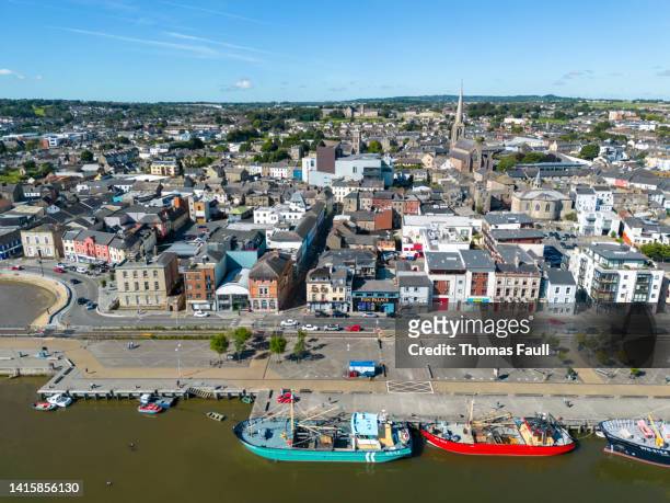 IndicatedBawn · 1621 yd
 Forest Of The DunbrodyForest · 2.0 mi
 Lacken HillMountain / peak · 2.0 mi
 Castle (in ruins)Castle, unclassified · 2.2 mi
Other information
Photo: National Inventory of Architectural Heritage · Website use allowed for educational or private purposes with source credit