What is recorded here
On a rise on the SE bank of the SW-NE Ogulla River, at the N edge of the mound of rath (RO022-114006-). A rectangular feature (dims c. 7m E-W; c. 4m N-S) detected by resistivity survey and exposed in excavation (04E0850) as an oval stony feature utilised after the abandonment of the castle (RO022-114011-). It is probably associated with the re-use of the site by Bingham, President of Connaught in the 1590s (Brady 2011, 310). (Brady and Gibson 2005, 65, 66, 73, feature 1)
Compiled by: Michael Moore
Date of upload: 21st June 2011
The monument record does not grant public access. Check the route and ask the landowner before entering private land.
- What survives
- Recorded monument
Places near here
 IndicatedFairy fort / earthen ringfort · 7 yd
 Cruachan Aí Heritage CentreMuseum · 103 yd
 CastleCastle, unclassified · 103 yd
 AbbeyReligious house, Dominican friars · 161 yd
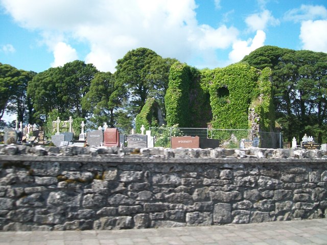 Grave YardGraveyard · 196 yd
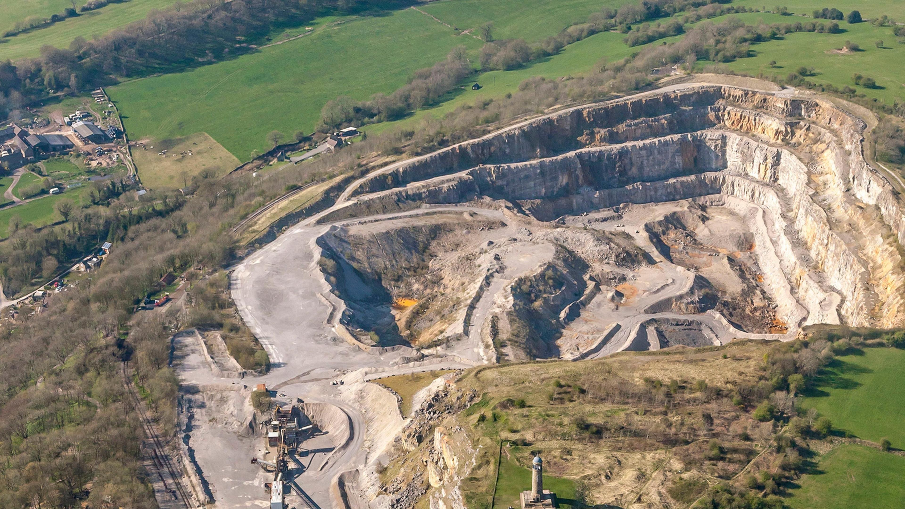 Quarry in Ardkeenagh (roscommon By.)Quarry · 1544 yd
 ToberagullaSpring · 1714 yd
 European ashEuropean ash · 1718 yd
 CastlerubyCastle, unclassified · 2.8 mi
 War of Independence Commemorative Military MemorialMemorial · 4.4 mi
 Sweet ChestnutSweet Chestnut · 6.2 mi
 Silver IslandIslet · 8.7 mi