
What is recorded here
Built against the inner face of the bank of an enclosure (LF023-020001-) at SSW. This rectangular house site (5.1m NE–SW; 3.55 NW–SE; Wall T 1.15m) is defined by a grass-covered drystone wall. A gap (Wth 1.2m) at the S end of the NW wall may mark the original entrance.
Compiled by: Patrick F. O'Donovan
Date of upload: 24 October 2012
The monument record does not grant public access. Check the route and ask the landowner before entering private land.
- What survives
- Recorded monument
Places near here
 Hachured fortFairy fort / earthen ringfort · 871 yd
 CastleCastle, motte · 1089 yd
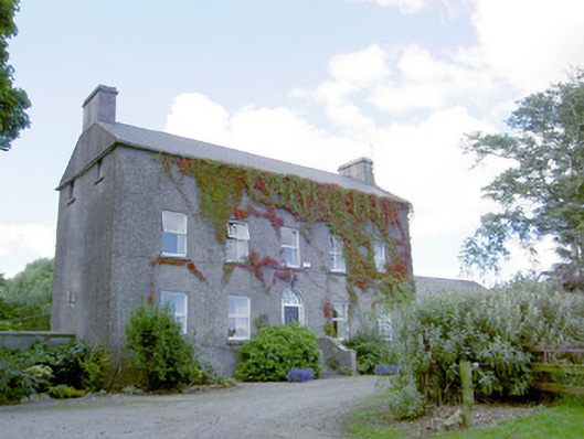 Richmount Hillhouse · 1157 yd
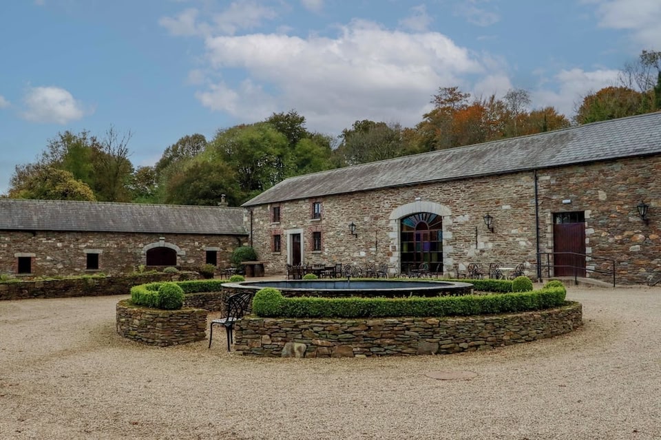 Enclosure in BallybegEnclosure · 1394 yd
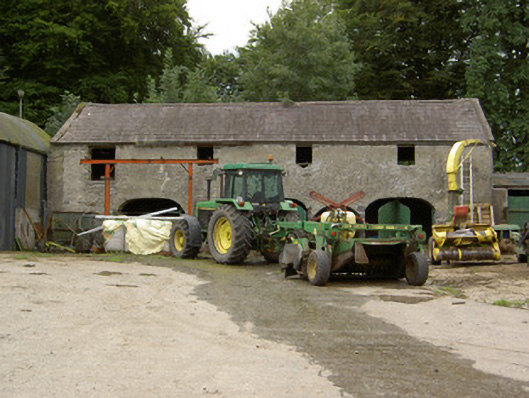 Tully Houseoutbuilding · 1630 yd
 DoonphilipCastle, motte · 2.1 mi
 European BeechEuropean Beech · 2.3 mi
 Pedunculate OakPedunculate Oak · 2.3 mi
 Abbeyshrule AbbeyRuins · 3.4 mi
 National Famine WayWalking route · 3.9 mi
 Goldsmith Birthplace, PallasVisitor information · 4.2 mi
 Newcastle WoodsForest · 4.5 mi
Other information
Photo: Credit not shown in the picture search · Rights wording not checked; contact us if this picture should be removed