What is recorded here
In the NE corner of a modern rectangular field, located on level ground, at top of a SE-facing slope overlooking the estuary of the Palmerstown River. Not indicated on the 1838 and 1922 OS 6-inch maps. Oval stony structure (7m NNE-SSW; 8.4m WNW-ESE) defined by an irregular stony rim or bank, which is higher and more substantial on the SW half (Wth c. 4m; int. H 0.5m; ext. H 0.75m). The interior surface appears slightly raised above exterior ground level, and is concealed by grass, but feels stony underfoot. There is a low area or gap (Wth 0.8m) at NE. The nature of this monument is unclear; it is obscured by dense, long vegetation. It may be the remnants of a house or a small enclosure, but the possibility that it is simply a field clearance cairn cannot be discounted. There is a rath (MA015-026001) c. 25m to SE.
Compiled by: Jane O'Shaughnessy
Date of upload: 31 August 2017
The monument record does not grant public access. Check the route and ask the landowner before entering private land.
- What survives
- Recorded monument
Places near here
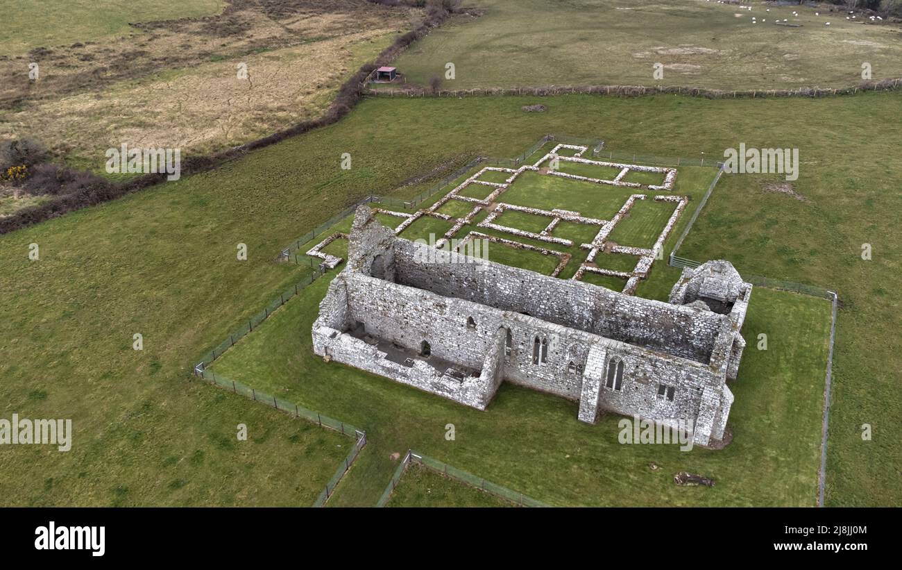 Enclosure in RathfranEnclosure · 63 yd
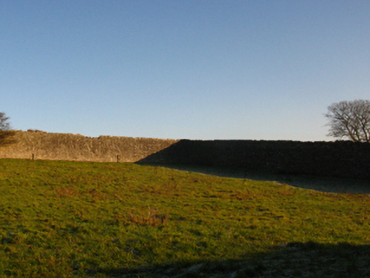
 Enclosure in SteelaunEnclosure · 351 yd
 Summerhill Housewalled garden · 841 yd
 Rathfran Abbey in ruinsReligious house, Dominican friars · 1246 yd
 CastlenageehaCastle, unclassified · 1.0 mi
 TrabaunBeach / strand · 1.2 mi
 Rinnaun PointHeadland · 1.7 mi
 Green IslandIslet · 2.1 mi
 Castle (in Ruins)Castle, tower house · 2.1 mi
 Battle of Killalabattle · 2.2 mi
 French Landing 1798Memorial · 2.2 mi
 Battlefields of MoyneBattlefield · 3.2 mi