What is recorded here
Located in the E half of a rath (MA015-072001-).
This consists of a sub-rectangular structure (7m NW-SE; 5.3m NE-SW) defined by a sod-covered stone bank/wall (Wth 1.4m; int. H 0.3m; ext. H 0.3m). It may represent the remains of a house.
Compiled by: Jane O’Shaughnessy
Date of upload: 7 December 2018
The monument record does not grant public access. Check the route and ask the landowner before entering private land.
- What survives
- Recorded monument
Places near here
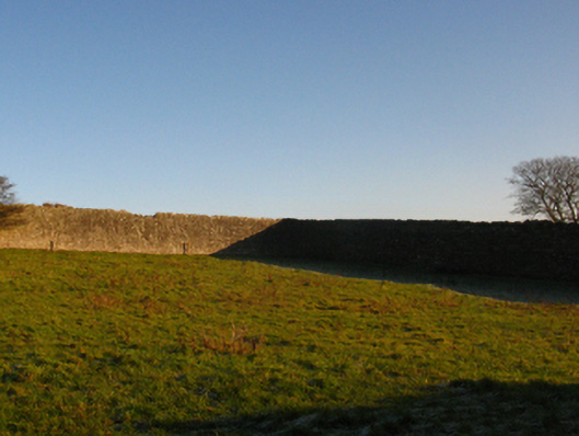
 Enclosure in RathfranEnclosure · 129 yd
 Enclosure in SteelaunEnclosure · 217 yd
 Summerhill Housewalled garden · 949 yd
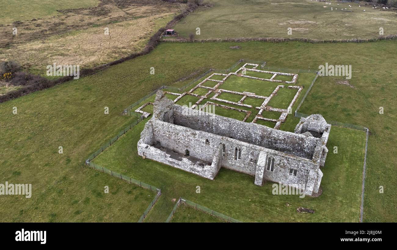
 Rathfran Abbey in ruinsReligious house, Dominican friars · 1382 yd
 CastlenageehaCastle, unclassified · 1678 yd
 TrabaunBeach / strand · 1.1 mi
 Rinnaun PointHeadland · 1.7 mi
 Green IslandIslet · 2.1 mi
 French Landing 1798Memorial · 2.2 mi
 Castle (in Ruins)Castle, tower house · 2.2 mi
 Battle of Killalabattle · 2.3 mi
 Battlefields of MoyneBattlefield · 3.2 mi