What is recorded here
In rough pasture, located immediately to S of a rath (MA015-026001-), on a terrace at the top of SE-facing slope, overlooking mouth of Palmerstown River. Ground rises sharply to the NW.
Not indicated on 1838 and 1922 OS 6-inch maps. This is described in a 1978 report (SMR Files) as a ‘small rectilinear platform which may possibly be a house site (9m NE−SW x 6m NW−SE) from which a low scarp runs across the field curving up to its NE corner with traces of a low bank near the house site and at the NE corner of the field.’
When inspection in 2017 it was evident as a roughly rectangular feature (c. 8m NE−SW; 6m NW−SE), which is located c. 4m S of the irregular, broadly sloping S scarp of the rath. The rectangular outline is defined by a slight grass-covered stony rise/bank on the SE and SW sides, and by an inward (E-facing) scarp (H 0.35-0.4m) on the NW side. It is not clearly defined on the NE side. It is located on a low irregular-shaped terrace (Wth c. 10-12m) appended to the SE side of the rath, and defined on its SE-S side by a stony scarp. The remains are degraded and difficult to interpret. This is a National Monument in State care (No. 389).
Compiled by: Jane O'Shaughnessy
Date of upload: 31 August 2017
The monument record does not grant public access. Check the route and ask the landowner before entering private land.
- What survives
- Recorded monument
Places near here
 Enclosure in RathfranEnclosure · 40 yd
 Enclosure in SteelaunEnclosure · 335 yd
 Summerhill Housewalled garden · 891 yd
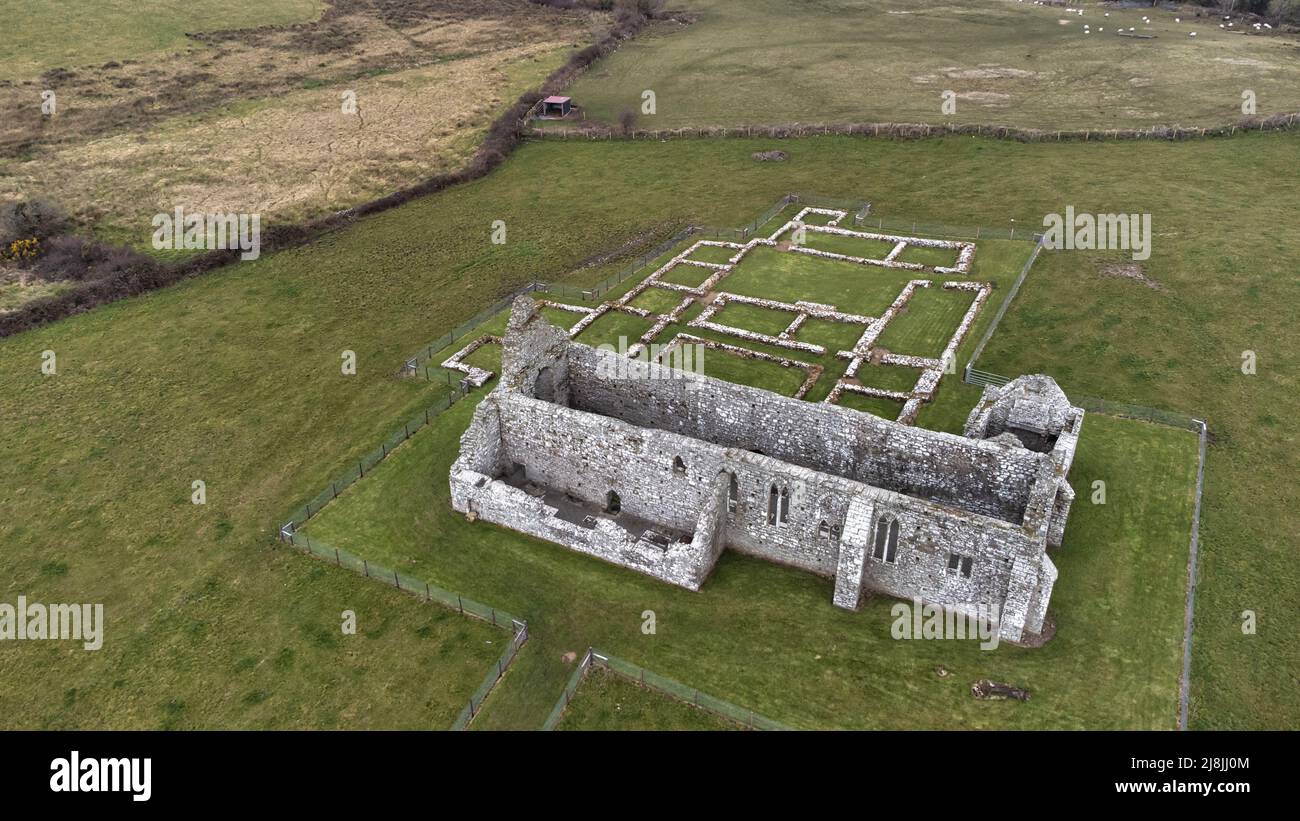
 Rathfran Abbey in ruinsReligious house, Dominican friars · 1278 yd
 CastlenageehaCastle, unclassified · 1.0 mi
 TrabaunBeach / strand · 1.2 mi
 Rinnaun PointHeadland · 1.6 mi
 Green IslandIslet · 2.0 mi
 Castle (in Ruins)Castle, tower house · 2.1 mi
 Battle of Killalabattle · 2.2 mi
 French Landing 1798Memorial · 2.2 mi
 Battlefields of MoyneBattlefield · 3.1 mi