What is recorded here
Located just outside the fosse of rath (ME030-003----) at WNW. A rectangular grass-covered area (int. dims c. 3m NE-SW; c. 2m NW-SE) is defined by an earthen bank (Wth 2.3m; H 0.2m) but no entrance is visible.
Compiled by: Michael Moore
Date of upload: 17 April, 2019
The monument record does not grant public access. Check the route and ask the landowner before entering private land.
- What survives
- Recorded monument
Places near here
 JamestownMountain / peak · 1.2 mi
 Enclosure in Ballyboy (lune By., Rathmore Par.)Enclosure · 1.6 mi
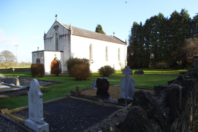 Saint Laurence's Catholic Churchchurch/chapel · 1.6 mi
 Enclosure in MeadstownEnclosure · 1.7 mi
 Black ChurchChurch · 1.8 mi
 CastleCastle, motte · 1.8 mi
 The New Line RoadMemorial · 2.7 mi
 BohermeenMountain / peak · 2.8 mi
 Moymet CastleCastle, tower house · 3.0 mi
 Bally GroveWood · 3.7 mi
 Newtown GroveWood · 3.8 mi
 FarmaphobiaHeritage attraction · 4.3 mi