What is recorded here
Situated on a gentle E-facing slope, overlooking low-lying wet pasture to E with a wood-covered ridge to N. A crannóg (WM038-011----) lies c. 155m to E. In SW quadrant of ringfort (WM038-010----) are the possible remains of a roughly rectangular-shaped house site. A low bank runs to N from this house site. Levelled house site is not visible today on Digital Globe aerial photography.
Compiled by Alison McQueen, Vera Rahilly and Caimin O’Brien.
Date of upload: 17 December 2019
The monument record does not grant public access. Check the route and ask the landowner before entering private land.
- What survives
- Recorded monument
Places near here
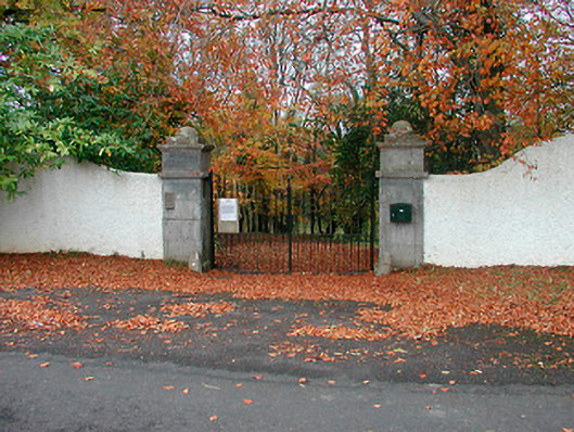 New Forest Housedemesne walls/gates/railings · 278 yd
 Lows Castle (in Ruins)Castle, unclassified · 497 yd
 Church (in Ruins)Church · 501 yd
 Ecclesiastical enclosure in NewtownlowEcclesiastical enclosure · 513 yd
 OutlinedEnclosure, large enclosure · 1325 yd
 Ardan WoodWood · 1.7 mi
 Bonfire HillMountain / peak · 2.3 mi
 Balrath CastleCastle · 2.4 mi
 Durrow HillMountain / peak · 4.0 mi
 Bracklin WoodWood · 4.6 mi
 St. Columba's WellSpring · 5.2 mi
 Grand Canal WayWalking route · 7.3 mi