What is recorded here
Down Survey map indicates a castle and four dwellings. No visible trace of these dwellings above ground and there precise location is unknown.
Compiled by: Jean Farrelly and Caimin O'Brien
Date of upload/revision: 22 September 2008
This remains an important historical record, but the official description says the monument is no longer visible or has been destroyed. The monument record does not grant public access. Check the route and ask the landowner before entering private land.
- What survives
- No visible remains or recorded as destroyed
Places near here
 Enclosure in MoycarkyEnclosure · 499 yd
 CastleCastle, ringwork · 566 yd
 Horse and Jockey Railway Stationsignal box · 764 yd
 Gift Horse GalleryGallery · 913 yd
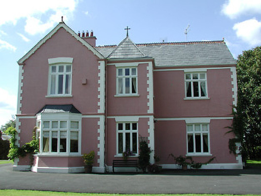 presbytery/parochial/curate's housepresbytery/parochial/curate's house · 953 yd
 Bawn in MoycarkyBawn · 991 yd
 Enclosure in Curraheen (ballymurreen Par.)Enclosure · 1605 yd
 Horse and JockeyVisitor information · 1.3 mi
 Killough Hill (site of)Mountain / peak · 2.1 mi
 Gobban Saer's GraveArchaeological place · 2.7 mi
 European ashEuropean ash · 3.0 mi
 Byrnes's WoodsForest · 3.2 mi