What is recorded here
In the NE quadrant of a cashel (CL003-013001-). A rectangular NW–SE orientated building defined by a largely grass-covered stony bank (Wth 2m; H 0.4m), which is traceable for 10m NW–SE and 5m NE–SW. Occasional wall-facing is visible on its SW side. This is likely to be the ‘Tí Clogh’ (stone house) referred to in the name of the cashel and townland (‘Mortyclogh/Mothair Tí Clogh’) in which it lies.
Compiled by: Mary Tunney and Ros Ó Maoldúin
Date of upload: 15 December 2020
The monument record does not grant public access. Check the route and ask the landowner before entering private land.
- What survives
- Recorded monument
Places near here
 Caher of MortycloghFairy fort / stone ringfort · 14 yd
 Mortyclogh FortFairy fort / ringfort · 349 yd
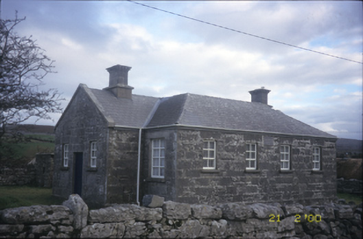 Ballyvelaghan National Schoolschool · 529 yd
 The Russell GalleryGallery · 1242 yd
 Saint Patrick's ChurchHeritage attraction · 1312 yd
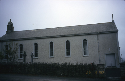 Saint Patrick's Catholic Churchchurch/chapel · 1312 yd
 Muckinish PointHeadland · 1324 yd
_-_geograph.org.uk_-_5527885.jpg?width=1280) IndicatedBawn · 1.2 mi
IndicatedBawn · 1.2 mi Shanmuckinish CastleCastle, tower house · 1.2 mi
 Abbey HillMountain / peak · 1.4 mi
 Battle of Lough Raskabattle · 1.4 mi
 Corcomroe Abbey Geopark SiteVisitor information · 1.6 mi