What is recorded here
Marked only on the 1928 ed. of the OS 6-inch map as a hachured feature (diam. c. 12m), and situated on a gentle SW-facing slope. Grass-covered and stone-strewn subrectangular area (int. dims 6.6m NW-SE; 5.7m NE-SW) defined by an earth and stone bank (Wth of top 0.8-1.3m; Wth of base 2.7-3.2m; H 0.2-0.55m). There is an entrance (Wth 1m) in the NW wall. Rath (RO035-072----) is c. 90m to the NNW and church (RO035-074001-) is c. 50m to the S.
Compiled by: Michael Moore
Date of upload: 24 August 2010
The monument record does not grant public access. Check the route and ask the landowner before entering private land.
- What survives
- Recorded monument
Places near here
 Church (Site of)Church · 90 yd
 IndicatedFairy fort / earthen ringfort · 136 yd
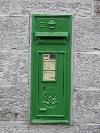 post boxpost box · 1608 yd
 Fortview Househouse · 1.7 mi
 Roscommon CastleCastle · 2.8 mi
 European ashEuropean ash · 3.8 mi
 European YewEuropean Yew · 3.8 mi
 CastleCastle, unclassified · 4.7 mi
 Leitrim CastleCastle, unclassified · 4.9 mi
 Sally IslandIslet · 7.1 mi
 Site of Killomaine Grave YardArchaeological place · 8.4 mi
 Mount MaryMountain / peak · 8.8 mi