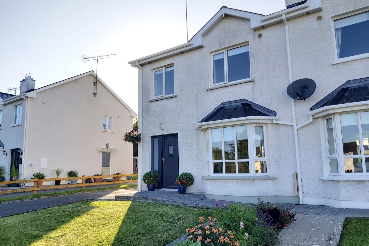
What is recorded here
Within the NE quadrant of a rath (LF023-093001-). This possible rectangular house (7.9m NW-SE; 7.1m NE-SW) is defined along the SE and NW sides by the fragmentary, grassed-over remains of drystone walls. The SW side is defined by the modern NW-SE field bank that divides the rath into two approximately equal parts.
Compiled by: Patrick F. O'Donovan
Date of upload: 26 February 2012
The monument record does not grant public access. Check the route and ask the landowner before entering private land.
- What survives
- Recorded monument
Places near here
 Indicated FortFairy fort / earthen ringfort · 280 yd
 Not locatedCastle, unclassified · 576 yd
 Enclosure in Killeendowd,taghshinnyEnclosure · 815 yd
 Catholic Church of the Sacred Heartchurch/chapel · 830 yd
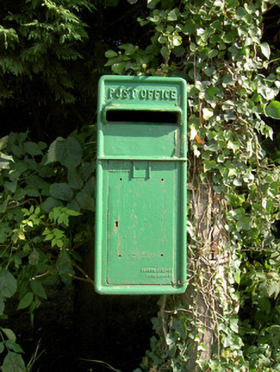 post boxpost box · 848 yd
 DoonphilipCastle, motte · 1308 yd
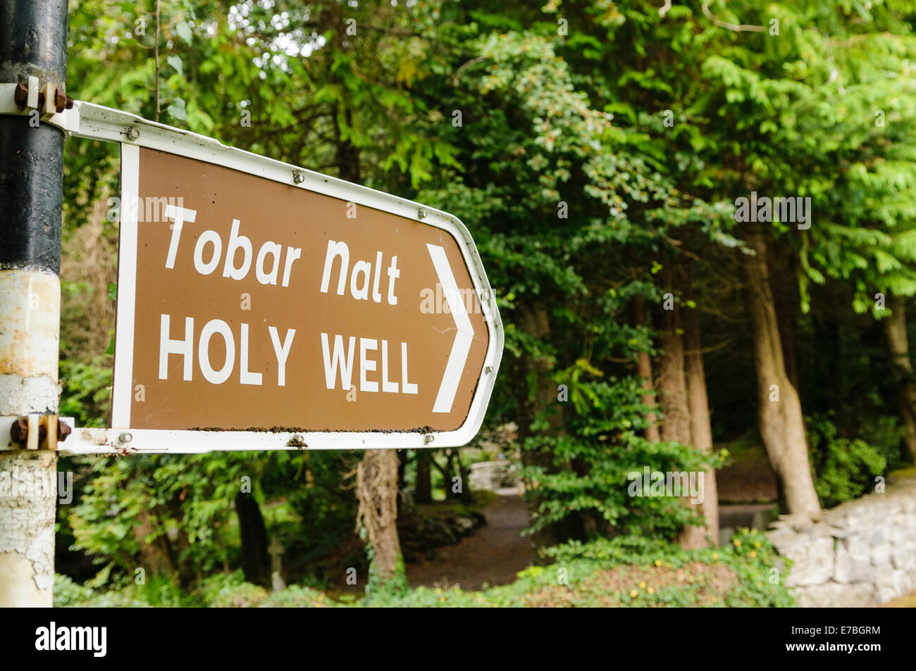 Kilbally Holy WellSpring · 2.1 mi
 Goldsmith Birthplace, PallasVisitor information · 2.5 mi
 Abbeyshrule AbbeyRuins · 2.5 mi
 Common LimeCommon Lime · 2.5 mi
 Newcastle WoodsForest · 2.7 mi
 Target WoodWood · 2.9 mi
Other information
Photo: Credit not shown in the picture search · Rights wording not checked; contact us if this picture should be removed